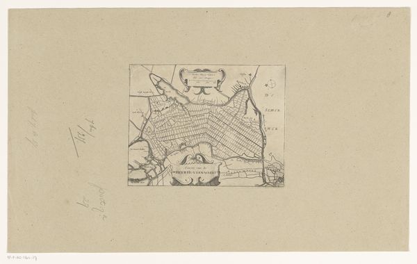
Kaart van de kusten van de eilanden Tahiti, Raiatea en Huahine in Frans-Polynesië 1797
0:00
0:00
drawing, print, paper, ink
#
drawing
# print
#
landscape
#
paper
#
ink
#
pen-ink sketch
#
orientalism
#
watercolour illustration
Dimensions: height 239 mm, width 350 mm
Copyright: Rijks Museum: Open Domain
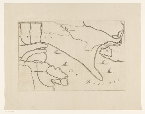
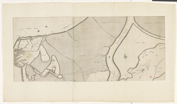
This is an undated map depicting the coastlines of Tahiti, Raiatea, and Huahine in French Polynesia, created by an anonymous artist. These islands, now romanticized, were sites of significant colonial interest and activity. Consider the legacy of European exploration and its profound impact on Indigenous populations. These maps served as tools of navigation and control, fundamentally altering the relationship between the colonizers and the colonized. The act of mapping itself is an assertion of power, encoding a Western perspective onto lands with their own rich histories and cultural significance. The emotional weight of this map lies in its silent erasure of Indigenous knowledge and the violent disruption of established ways of life. It invites us to reflect on the complex interplay between exploration, exploitation, and the enduring resilience of Pacific cultures.
Comments
No comments
Be the first to comment and join the conversation on the ultimate creative platform.
More like this