Dimensions: height 344 mm, width 231 mm
Copyright: Rijks Museum: Open Domain
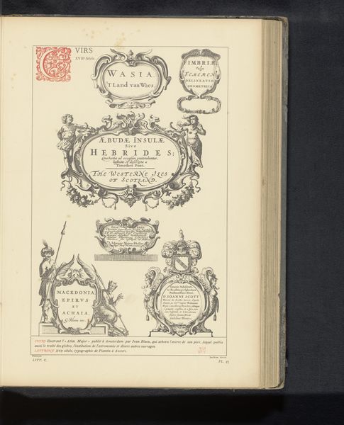
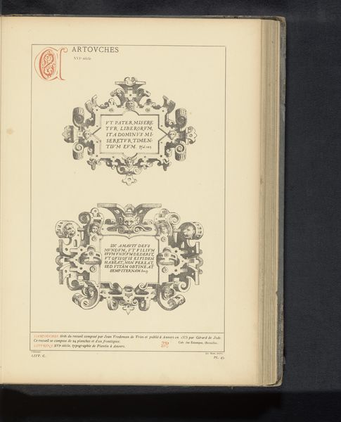
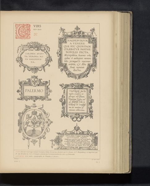
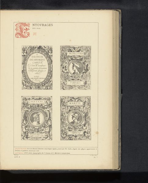
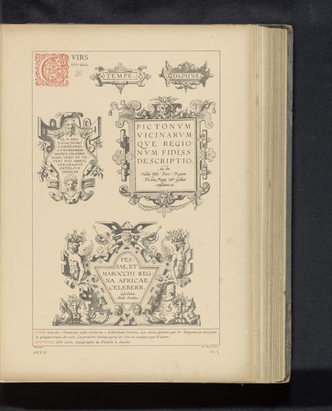
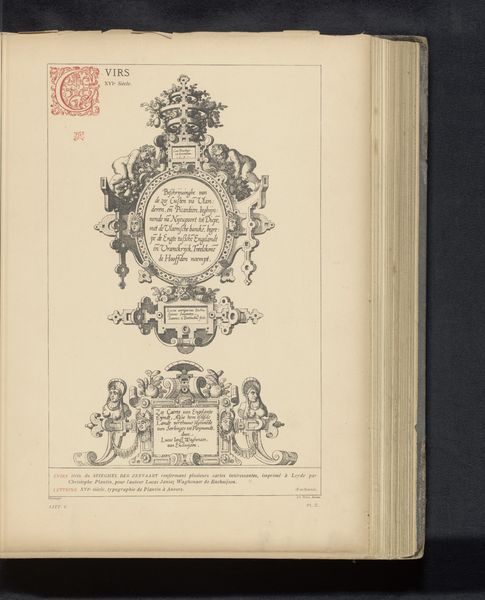
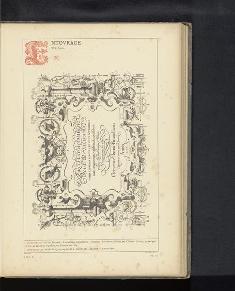
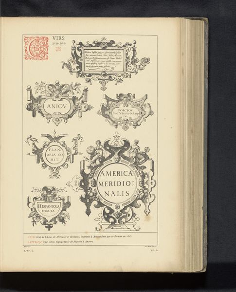
This undated print shows six cartouches and was likely produced in the Netherlands. Cartouches like these were often used in mapmaking to label geographic areas, so we might see this as a kind of design template. The labels give us some clues about the world these cartouches were meant to represent: Austria, Holland, and Silesia, now part of Poland, all feature prominently. What does it mean to see these places named and framed within these elaborate borders? How are they being imagined and defined? The style is ornate and classical, filled with cherubs, scrolls and Latin script. It speaks to the enduring power of classical imagery in the 17th century, but it also reminds us that power was being mapped, visualized, and communicated through printmaking. Historians can use resources like period maps and design books to understand the visual language of the time. This helps us explore how these images shaped people’s understanding of their world and their place within it.
Comments
No comments
Be the first to comment and join the conversation on the ultimate creative platform.
More like this