photography
#
surveyor photography
#
contemporary
#
drone photography
#
landscape
#
rugged
#
photography
#
derelict
Dimensions: image: 35.9 × 28.9 cm (14 1/8 × 11 3/8 in.) sheet: 39.7 × 32.7 cm (15 5/8 × 12 7/8 in.)
Copyright: National Gallery of Art: CC0 1.0
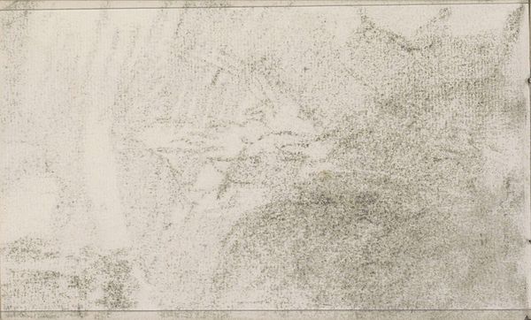
Mishka Henner made this photograph, 'API 4303716180 Ismay, UT,' using digital means to create an image that’s both distant and strangely intimate. The palette is like a faded Kodachrome, all browns and muted greens, giving the sense of a landscape seen from afar. It reminds me of the way colours mix in a Gerhard Richter squeegee painting, where everything is pulled together. Up close, you see the texture of the earth, the dryness, the scattered shrubs. The circular form, like a bullseye, draws your eye. Is it a natural formation or a human intervention? The muted colours make it look almost like a watercolour, but with a kind of unsettling clarity. This image is part of a broader conversation about land use, environmental impact, and the hidden stories our landscapes hold. Think about artists like Ed Ruscha, who documented the mundane aspects of urban sprawl, or maybe even some of the Land artists. Art helps us look at the world in new and critical ways.
Comments
No comments
Be the first to comment and join the conversation on the ultimate creative platform.
