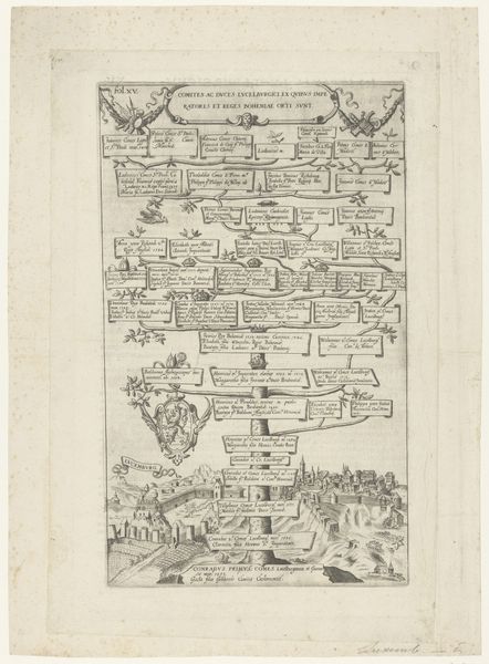
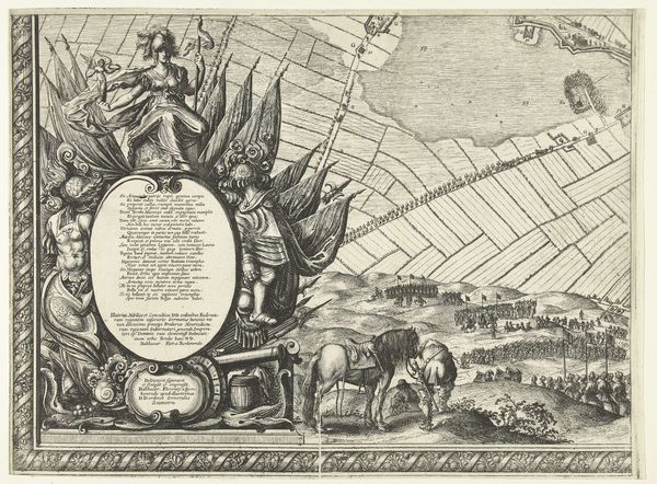
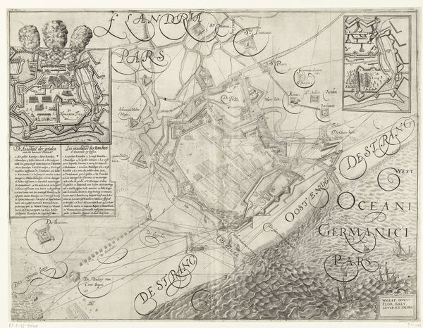
drawing, print, ink, pen, engraving
#
drawing
#
ink drawing
#
pen drawing
# print
#
landscape
#
ink
#
pen
#
islamic-art
#
engraving
Dimensions: width 413 mm, height 549 mm
Copyright: Rijks Museum: Open Domain
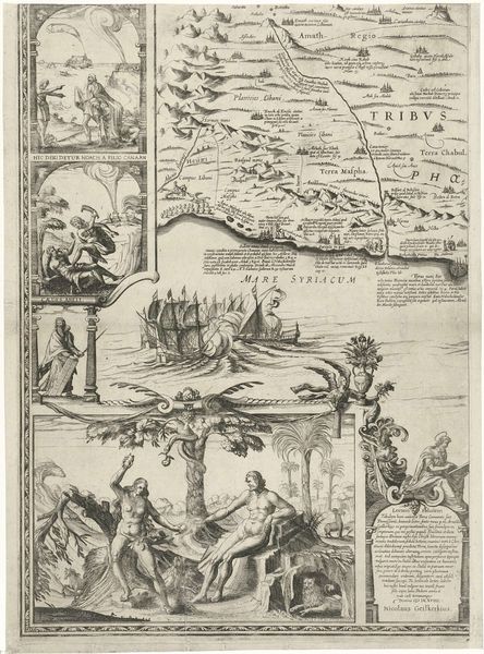
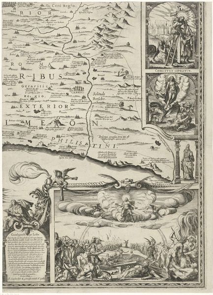
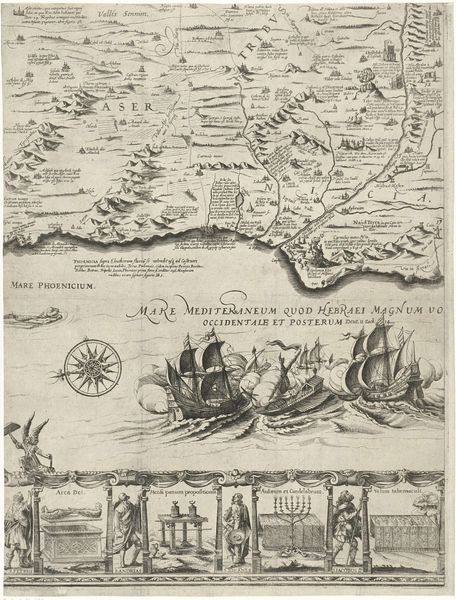
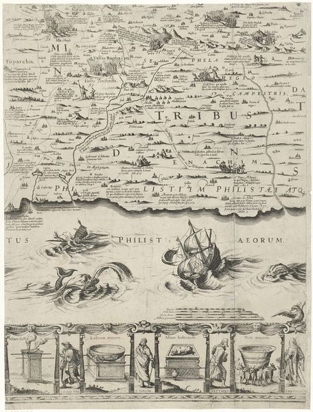
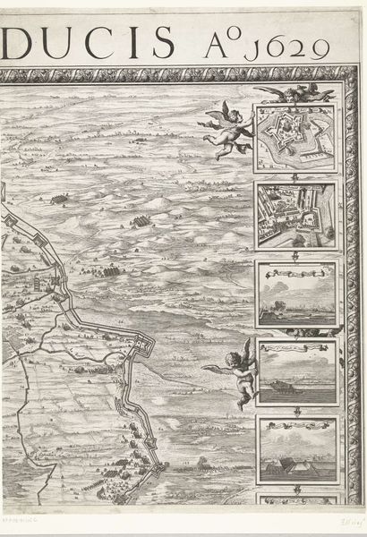
This is Nicolaes van Geelkercken’s "Map of Palestine," made in 1625. The map's visual structure balances geographical precision with symbolic representation. The upper portion meticulously charts the terrain of Palestine, using fine lines to depict mountains, rivers, and settlements. Text is integrated to label regions and sites, creating a dense informational texture. Below this, the composition shifts dramatically. A decorative panel dominates, featuring religious iconography, including angels, biblical scenes, and Latin inscriptions. This panel serves not just as ornamentation but also as a semiotic framework, layering religious and symbolic meanings onto the geographical space above. The map destabilizes a purely empirical representation of space. It integrates cultural and religious values, suggesting that the land is understood not only through cartographic data but also through a complex web of historical and theological narratives. The use of text and imagery creates a rich interplay between observation and interpretation.
Comments
No comments
Be the first to comment and join the conversation on the ultimate creative platform.
More like this