print, engraving
#
dutch-golden-age
# print
#
geometric
#
line
#
cityscape
#
engraving
Dimensions: height 123 mm, width 141 mm
Copyright: Rijks Museum: Open Domain
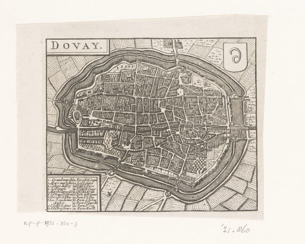
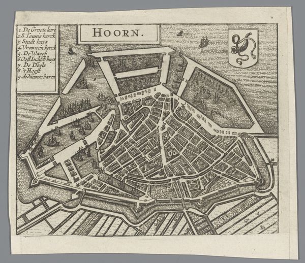
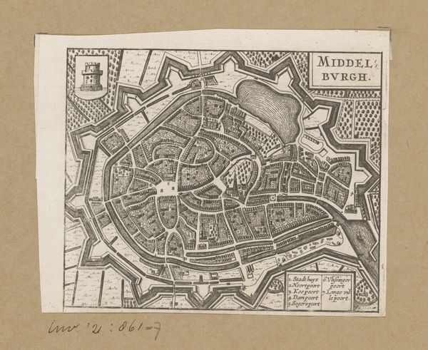
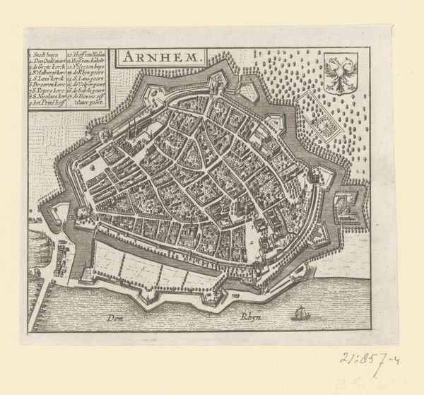
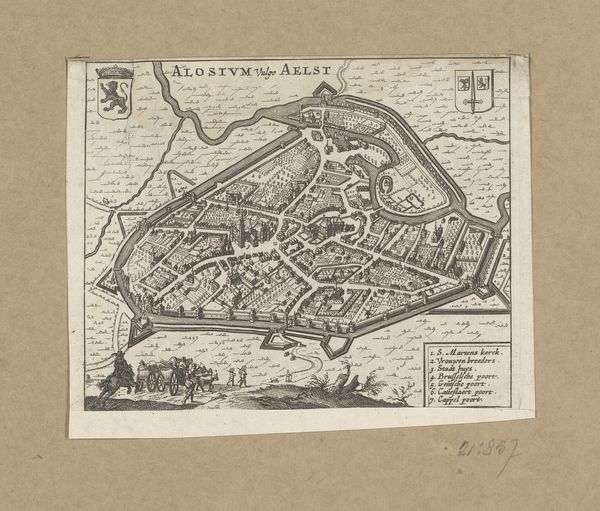
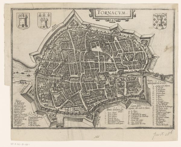
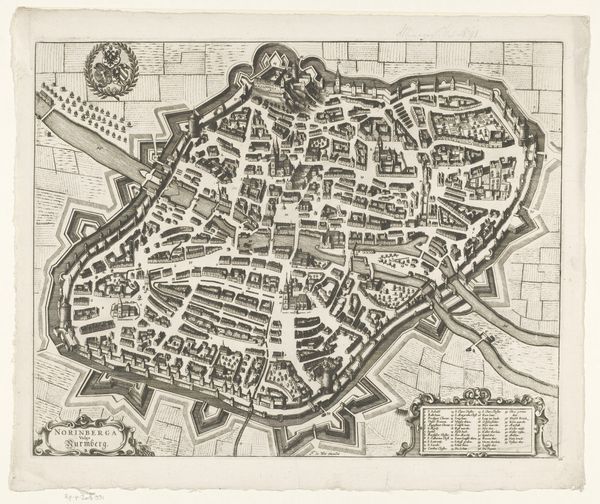
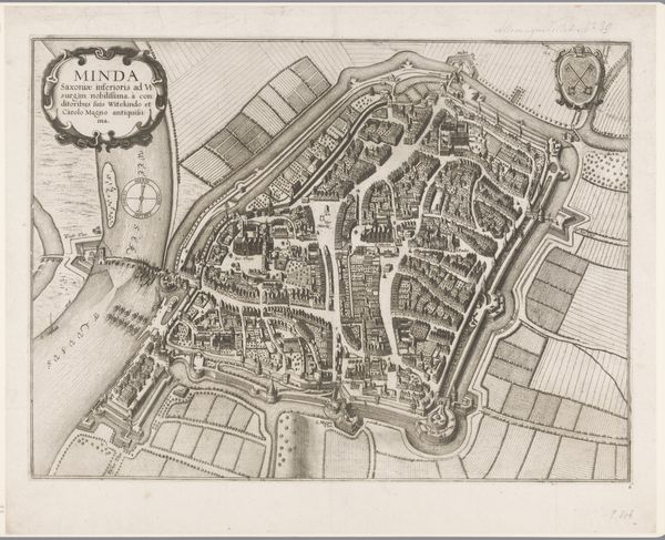
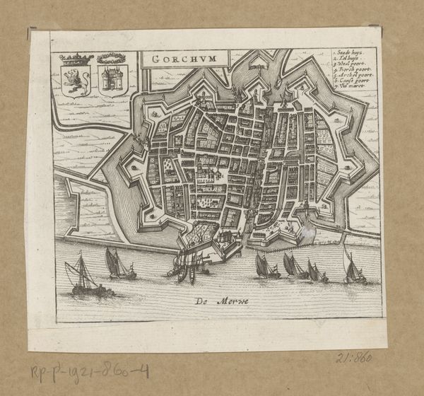
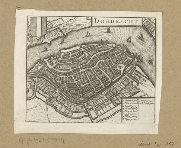
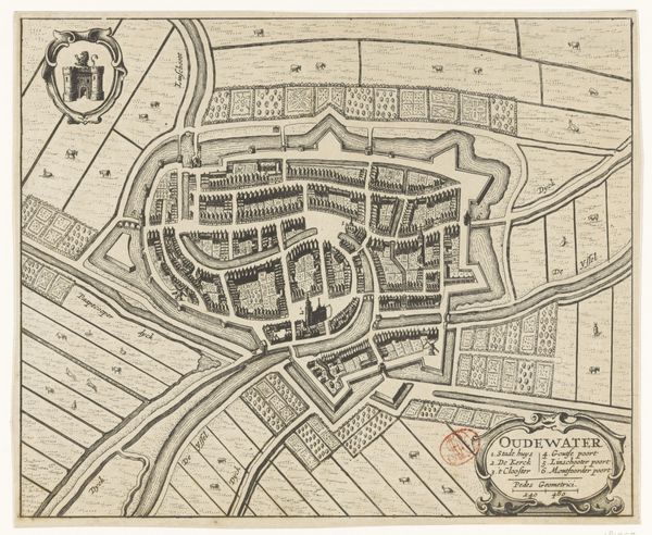
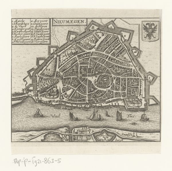
This map of Zaltbommel was produced anonymously, using the intaglio printmaking technique of engraving. Lines were carefully incised into a metal plate, likely copper, with a tool called a burin. The plate was then inked, and the surface wiped clean, leaving ink only in the engraved lines. Pressed against paper, the image transferred, resulting in the fine, precise lines that describe the city's layout. The character of the lines gives a sense of the engraver’s hand, meticulously delineating each building, street, and fortification. This labor-intensive process speaks to the value placed on accuracy and detail in representing urban space. While the print served a practical purpose, perhaps for navigation or military strategy, the artistry involved elevates it beyond mere utility. Consider the social context of mapmaking at this time: the rise of cartography as a scientific and artistic pursuit, driven by exploration, trade, and statecraft. This print embodies that intersection of craft, knowledge, and power. It reminds us that even seemingly functional objects can be rich with cultural significance, challenging any rigid distinction between art and craft.
Comments
No comments
Be the first to comment and join the conversation on the ultimate creative platform.
More like this