graphic-art, print, engraving
#
graphic-art
#
mechanical pen drawing
# print
#
pen sketch
#
old engraving style
#
personal sketchbook
#
sketchwork
#
ancient-mediterranean
#
pen-ink sketch
#
pen work
#
sketchbook drawing
#
cityscape
#
storyboard and sketchbook work
#
sketchbook art
#
engraving
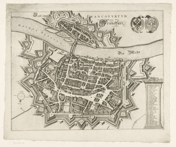
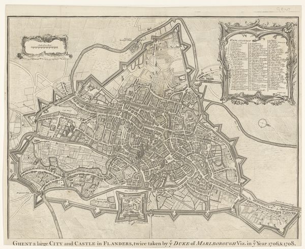
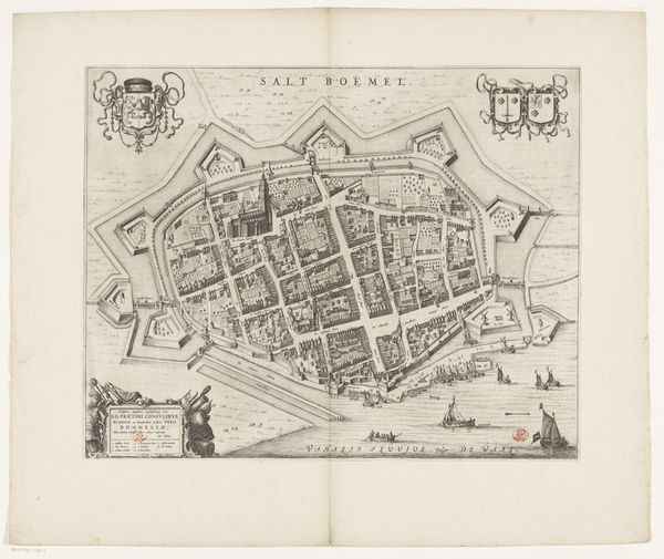
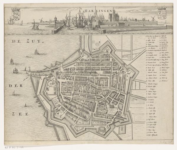
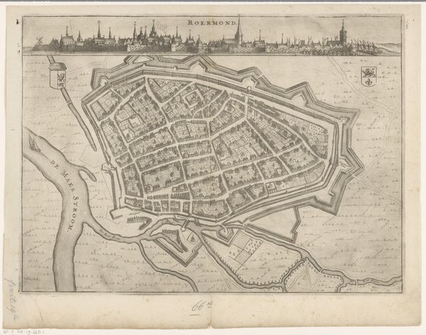
Dimensions: height 238 mm, width 321 mm
Copyright: Rijks Museum: Open Domain
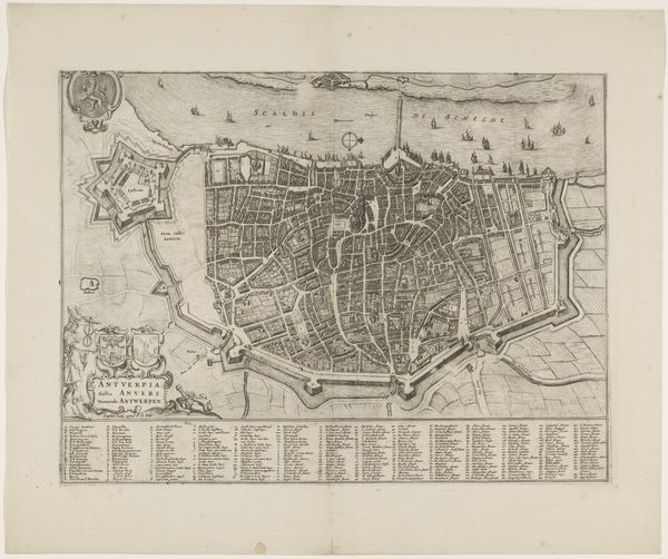
This is an anonymous map of Doornik, made using etching. The map is a fascinating glimpse into the cartography of the time, reflecting the societal structures and power dynamics inherent in urban planning. Notice how the city is laid out, with key buildings and fortifications meticulously detailed. This attention to detail highlights what was valued and deemed important by those in power. Consider also, what this map leaves out. Who is not represented here? Whose stories are erased? This becomes a question about access, influence, and who gets to shape the narrative of a place. Maps are never neutral; they reflect the worldviews and priorities of their creators. This Plattegrond van Doornik invites us to think critically about how cities are shaped, both physically and ideologically, and who gets to decide what stories are told.
Comments
No comments
Be the first to comment and join the conversation on the ultimate creative platform.
More like this