print, engraving
#
baroque
# print
#
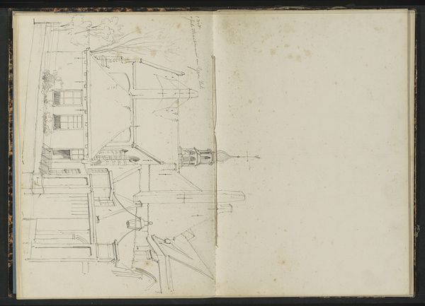
landscape
#
geometric
#
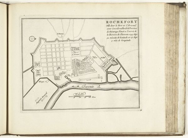
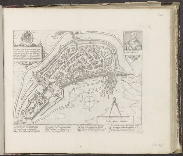
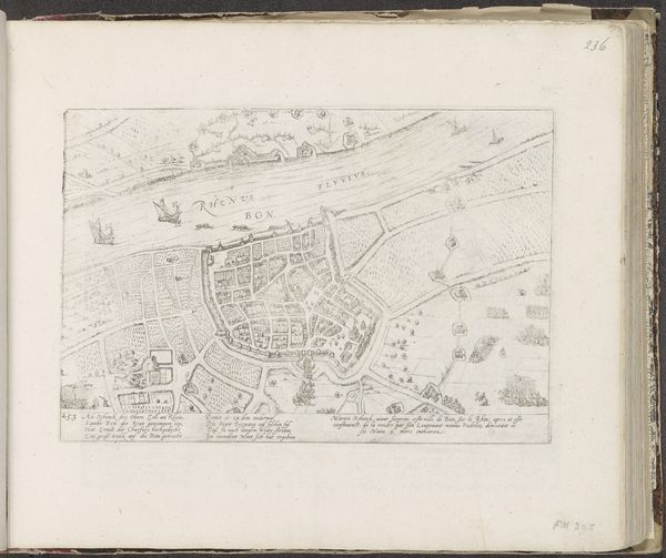
cityscape
#
engraving
Dimensions: height 262 mm, width 387 mm
Copyright: Rijks Museum: Open Domain
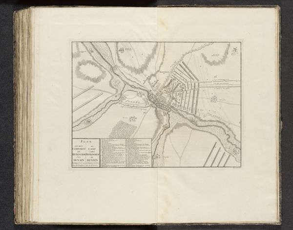
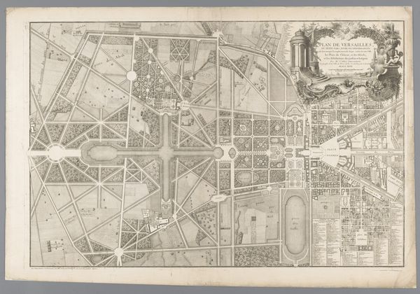
Martin Mytens the Elder created this map of Drottningholm Palace in Sweden, probably in the late 17th or early 18th century. The strict geometry of its parks and gardens embodies the desire to impose order on the natural world, a cultural ideal popular among European royalty. This map is a symbolic assertion of power, reflecting the economic structures that enabled the Swedish monarchy to command land and labor. Drottningholm was more than just a residence; it was a stage upon which the royals performed their status. The gardens, rendered with precision, were designed to impress, demonstrating control and wealth. To understand this image, we can consult historical records, architectural plans, and writings on garden design from that era. Such resources help us interpret the social values embedded in the artwork. The map reminds us that art and architecture are not created in a vacuum, but are deeply intertwined with the cultural and institutional forces of their time.
Comments
No comments
Be the first to comment and join the conversation on the ultimate creative platform.
More like this