print, engraving
# print
#
pen illustration
#
old engraving style
#
cityscape
#
engraving
Dimensions: height 463 mm, width 498 mm
Copyright: Rijks Museum: Open Domain
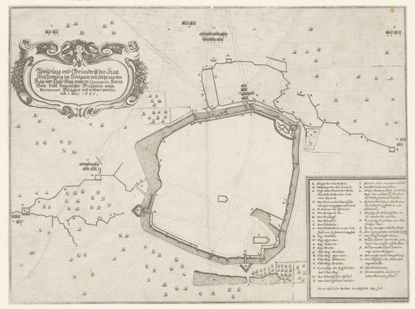
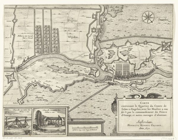
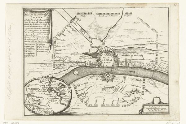
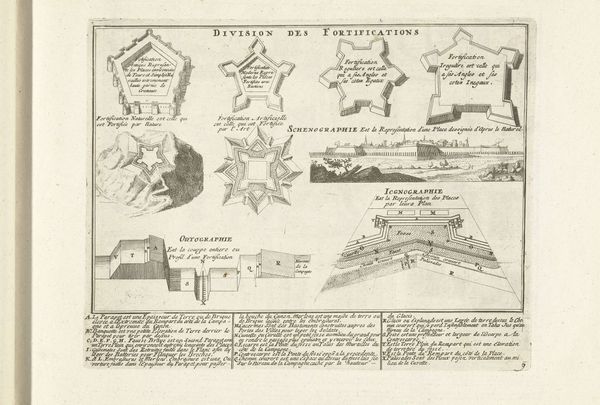
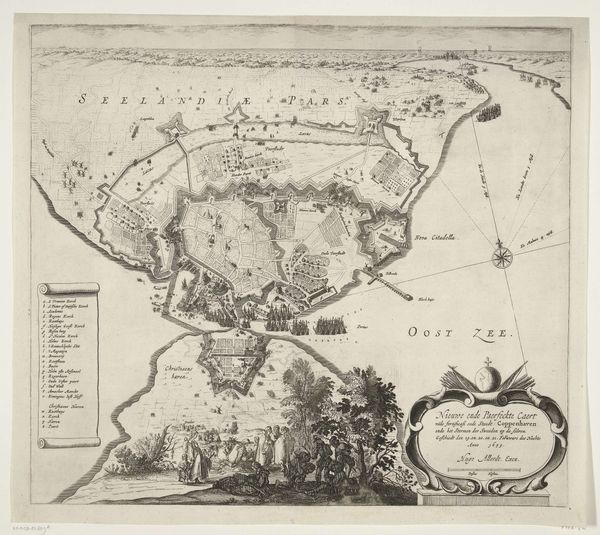
This detailed city plan of Bergen op Zoom, created in 1747 by an anonymous artist, presents a bird's-eye view of the town's fortifications, emphasizing the star-shaped layout of its walls. The star fort, a design that gained prominence in the 16th century, symbolizes a new era in military architecture. We can see similar star-shaped fortifications in maps of other cities throughout Europe during this period, each a testament to the evolving science of defense against increasingly powerful artillery. This geometric pattern, while practical in its design, also speaks to a deeper human impulse: the desire for order, control, and the imposition of structure onto the unpredictable realities of war. Consider how the very act of mapping—of reducing a complex reality to a symbolic representation—reflects our need to understand and master our environment. It's an attempt to bring the chaos of the world into a rational, manageable framework. It's a powerful expression of human intent, a way of asserting our presence and shaping our destiny. The motifs and strategies of planning have evolved, but the underlying drive to structure, control, and assert our will remains a constant thread in the human story.
Comments
No comments
Be the first to comment and join the conversation on the ultimate creative platform.
More like this