drawing, ink
#
drawing
#
dutch-golden-age
#
landscape
#
ink
#
geometric
#
line
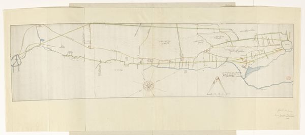
Dimensions: height 731 mm, width 1076 mm
Copyright: Rijks Museum: Open Domain
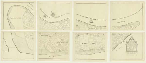
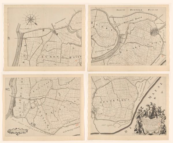
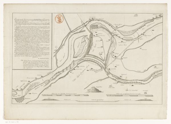
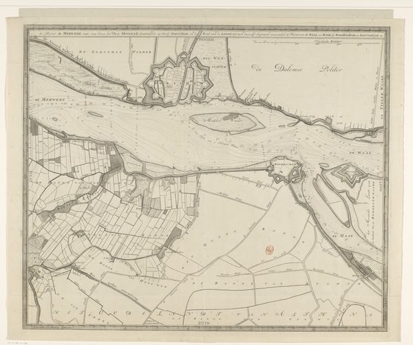
Editor: This is *Kaart van de Overwaard, bestaande uit vier delen*, or Map of the Overwaard, existing of four parts, made before 1706 by Jan van Vianen. It's an ink drawing. The precision of the lines is incredible! It gives me a sense of… order. What symbolic significance can we glean from this map's composition, from the perspective it presents? Curator: It's fascinating how you connect "order" with precision. Look at how water dominates; rivers snaking through meticulously charted land. In iconography, water often represents the unconscious, the fluid and ever-changing. Is it being tamed, channelled by human endeavor here? Notice too how the windrose—the compass—is placed on these bodies of water: do they harness nature’s symbolic power or simply point north? Editor: It's like a dialogue between human will and nature. So the windrose isn’t just functional? Curator: Exactly! Think of maps as more than geographical documents. Each line, each name, is infused with a narrative, often one of control or dominion. The very act of mapping is an act of claiming, a way of shaping our understanding—and, perhaps, our perception—of reality. These geometric renderings became emblematic of status. It speaks of who commissions, funds and ultimately benefits from the detailed charting. Does that modify your initial reaction? Editor: Definitely. It layers on the original impression, thinking of this map as a symbol of power and societal influence, rather than just order for its own sake. Thanks, that makes me see it so differently! Curator: Indeed. Recognizing symbols enables you to peel back the layers of meaning that are baked into our shared cultural language.
Comments
No comments
Be the first to comment and join the conversation on the ultimate creative platform.
More like this