graphic-art, print, paper, typography, ink, engraving
#
graphic-art
#
dutch-golden-age
#
ink paper printed
# print
#
paper
#
typography
#
ink
#
engraving
Dimensions: height 421 mm, width 528 mm
Copyright: Rijks Museum: Open Domain
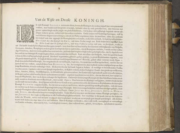
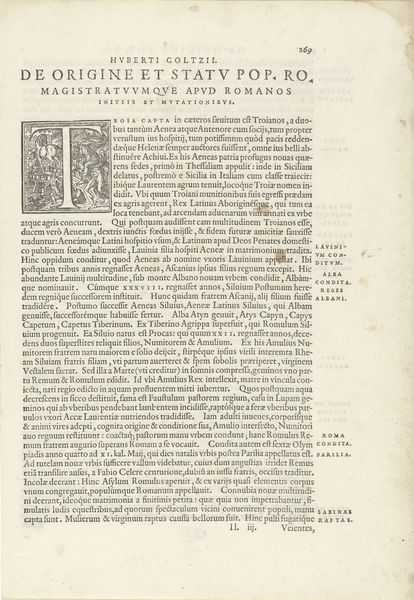
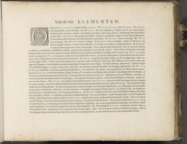
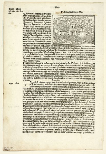
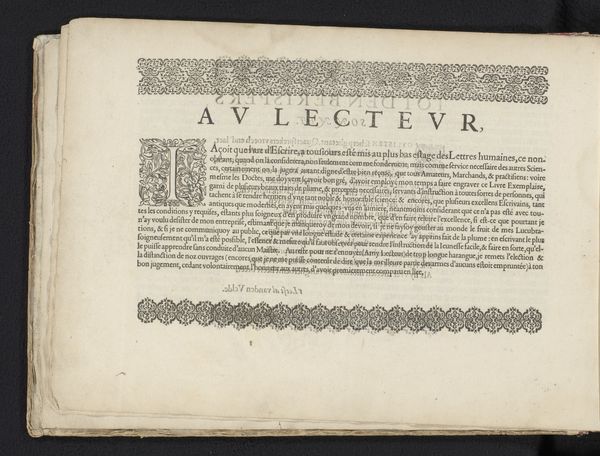
This printed city plan of Medemblik, made by an anonymous artist, presents a bird's-eye view steeped in the visual language of its time. Note the prominent lettering "Medemblik," which anchors the composition. The typography, with its decorative flourishes, serves as a symbol of civic pride, echoing the illuminated manuscripts of centuries past. We see this impulse across time, from Roman inscriptions to the bold pronouncements of Renaissance broadsides. The act of naming, of declaring identity through script, is a primal urge. Consider the psychological weight of such pronouncements. The need to assert ourselves, to etch our existence into the fabric of time – it is a profound human drive. Over centuries the style changes, but the need remains. We see it in the illuminated initial, a vestige of medieval traditions, harking back to a time when knowledge and power were intricately linked. The text in the lettering reminds us of the cyclical nature of symbols, continually reinvented yet forever tethered to their origins.
Comments
No comments
Be the first to comment and join the conversation on the ultimate creative platform.
More like this