drawing, print, photography, ink
#
drawing
# print
#
photography
#
ink
#
cityscape
Dimensions: height 31 mm, width 52 mm
Copyright: Rijks Museum: Open Domain
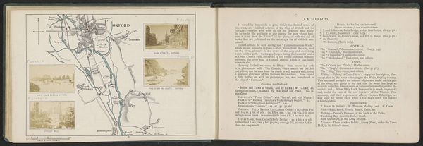
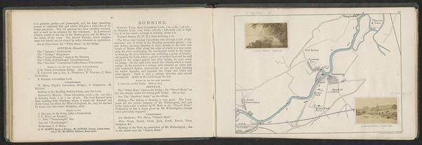
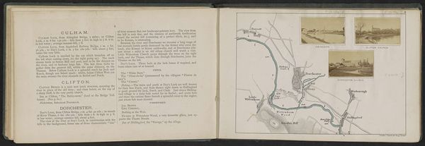
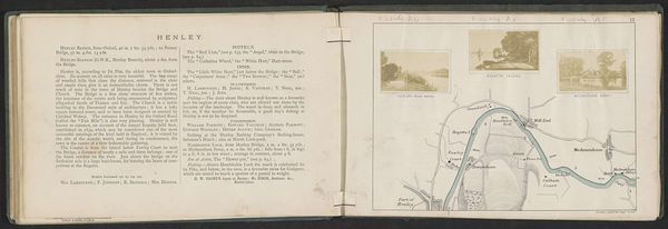
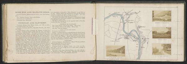
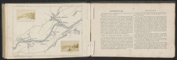
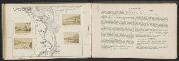
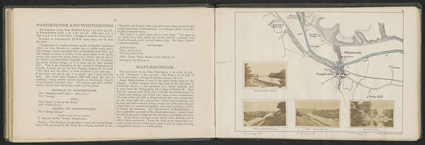
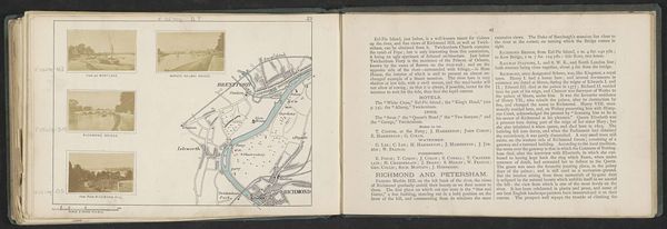
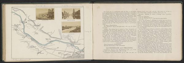
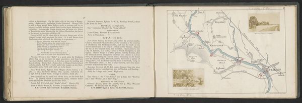
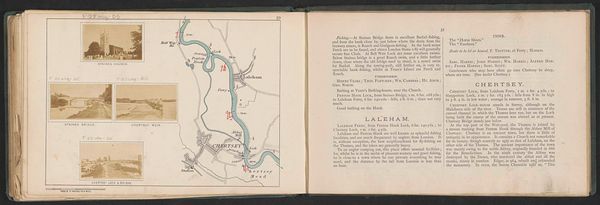
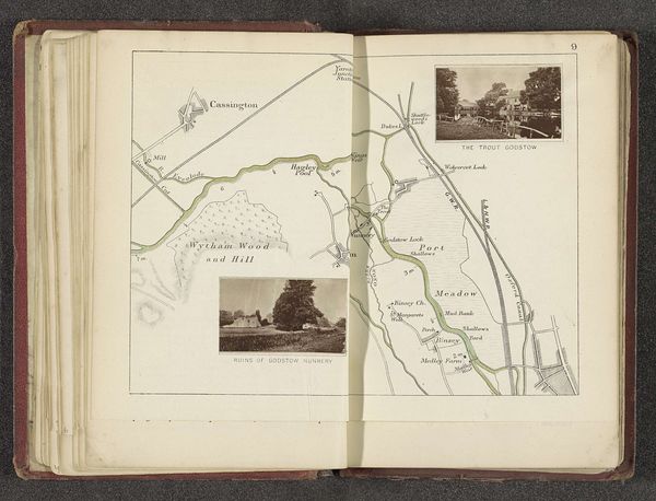
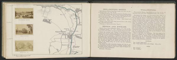
This is a photographic print by Henry W. Taunt, depicting Putney. Note how the Thames weaves through the landscape. Rivers, throughout history, have been powerful symbols, representing not just physical boundaries but also the flow of time and the continuity of life. Think of the ancient Egyptians and their reverence for the Nile, or the Greeks with their mythical rivers like the Styx. This notion of the river as a life-giving force resurfaces time and again. Even the very act of mapping can be traced through various cultural expressions, from ancient cartography to contemporary digital maps. They are more than practical tools; they are symbolic representations of our relationship with space, each line a vestige of humankind’s impulse to orient itself in the world. The emotional resonance of these symbols, etched in the collective psyche, continues to echo in our interpretations of art.
Comments
No comments
Be the first to comment and join the conversation on the ultimate creative platform.
