drawing, paper, ink
#
drawing
#
landscape
#
paper
#
ink
#
academic-art
Dimensions: height 32 mm, width 53 mm
Copyright: Rijks Museum: Open Domain
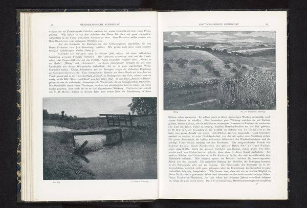
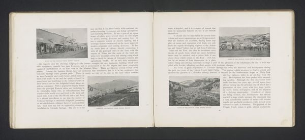
Here we see "Pad langs de Theems bij Sonning-on-Thames," a work created by Henry W. Taunt. The dimensions are 32 mm in height and 53 mm in width. The map showcases a deliberate structure that invites a focused observation of space and layout. A network of lines meticulously details the course of the river. This network acts as a central element, guiding the viewer's eye and defining the relationship between natural and constructed environments. This layout creates a balance between topographical accuracy and aesthetic organization. The inclusion of small sketches, embedded within the map, suggests a concern with capturing the specific character of the area. The lines are not just geographical markers; they also imply direction and flow, symbolizing the movement of both water and human activity through the landscape. The map then functions as both a practical tool and a reflection on humanity's interaction with its surroundings.
Comments
No comments
Be the first to comment and join the conversation on the ultimate creative platform.
More like this