drawing, print, etching, ink
#
drawing
#
baroque
# print
#
pen sketch
#
etching
#
etching
#
ink
#
geometric
#
cityscape
Dimensions: height 465 mm, width 330 mm
Copyright: Rijks Museum: Open Domain
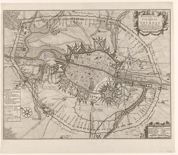
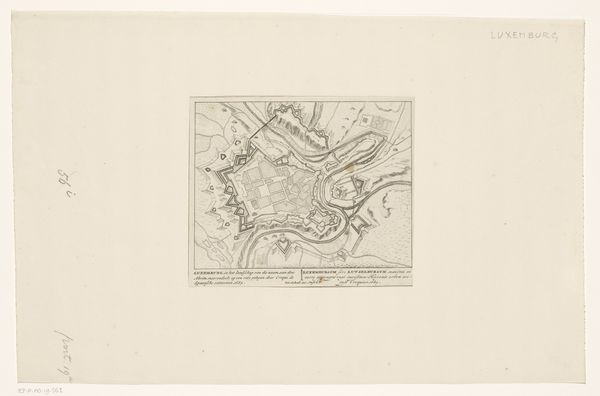
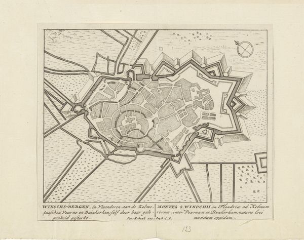
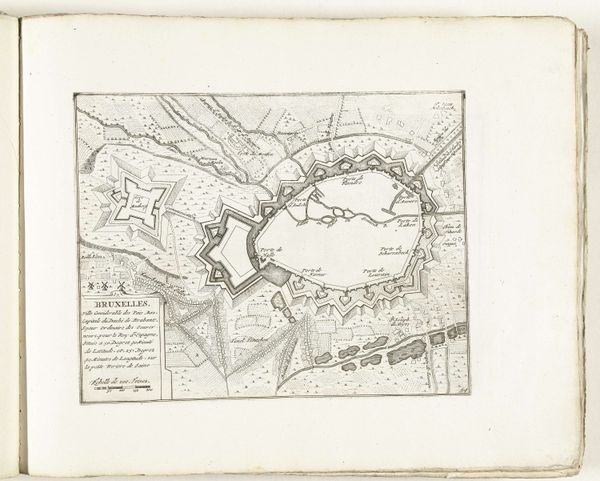
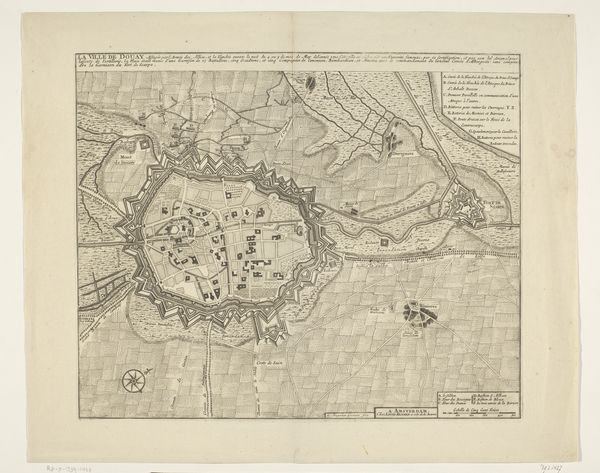
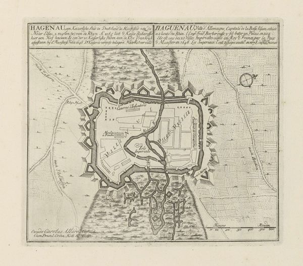
Jacobus Harrewijn crafted this detailed map of Mons in 1709, capturing the city's layout with a cartographer's precision. However, it is not merely a map; it is a symbolic representation of power and defense. The star-shaped fortifications, extending outwards like protective arms, immediately capture our attention. This motif, born from the Renaissance's obsession with geometric perfection and military innovation, has roots stretching back to ancient fortresses. We see echoes of it in Roman castra and medieval walled cities, each iteration a testament to humanity's enduring need for security. Yet, the star fort transcends mere practicality; it embodies a psychological projection of control, a visual assertion of dominance over both land and people. Consider how this defensive posture resonates with our own anxieties, our primal need to create order in a chaotic world. The map becomes more than a document; it is a mirror reflecting our collective fears and aspirations.
Comments
No comments
Be the first to comment and join the conversation on the ultimate creative platform.
More like this