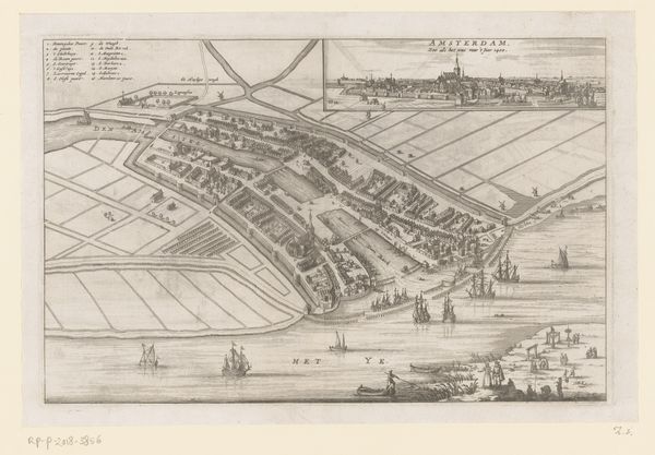
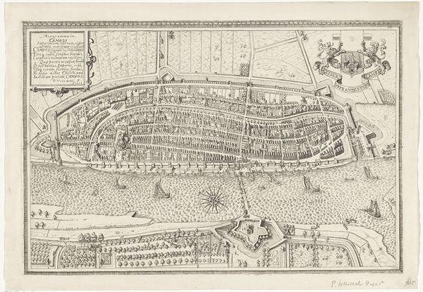
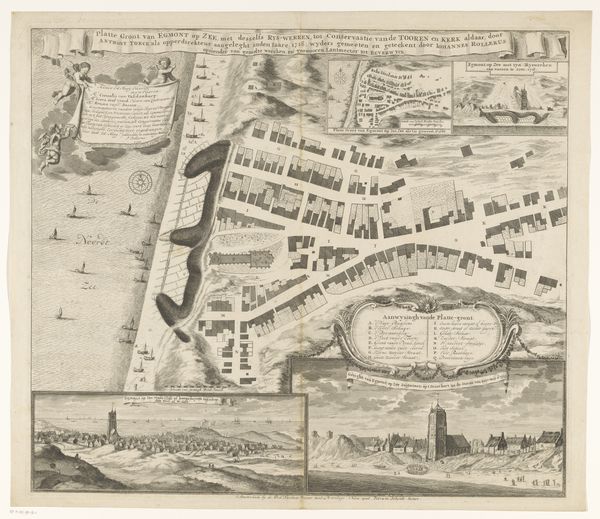
drawing, print, engraving
drawing
baroque
landscape
cityscape
engraving
Dimensions: height 301 mm, width 369 mm
Copyright: Rijks Museum: Open Domain
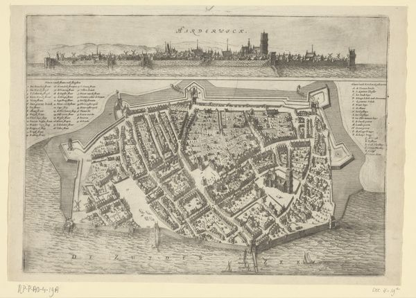
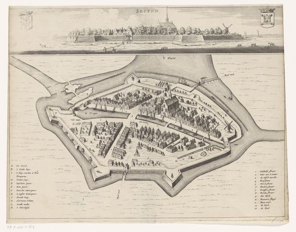
This is Jacob van Meurs's etched map of Hindeloopen, made in the Netherlands in the second half of the 17th century. The image presents an aerial view of the town, bisected to show both a close-up of the city and a distant view of the skyline. Maps like these reveal much about the priorities of Dutch society at the time. This was the Dutch Golden Age, a period of unprecedented economic growth fueled by maritime trade. Hindeloopen was a small but prosperous port town on the Zuiderzee, now known as the IJsselmeer. Notice the emphasis on the town’s layout, with its neat rows of houses and well-defined harbor. The placement of the church in the center highlights the importance of religion to the community. The map celebrates the town's civic order and prosperity, reflecting the values of a culture that saw itself as a beacon of progress and stability. To understand this image fully, researchers might consult historical archives, economic data, and other maps. The meaning of art lies in its contingency on social and institutional context.
Comments
No comments
Be the first to comment and join the conversation on the ultimate creative platform.