drawing, print, ink, engraving
drawing
baroque
landscape
ink
engraving
Dimensions: height 430 mm, width 560 mm
Copyright: Rijks Museum: Open Domain
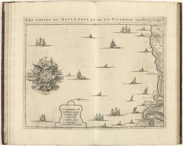
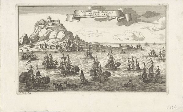
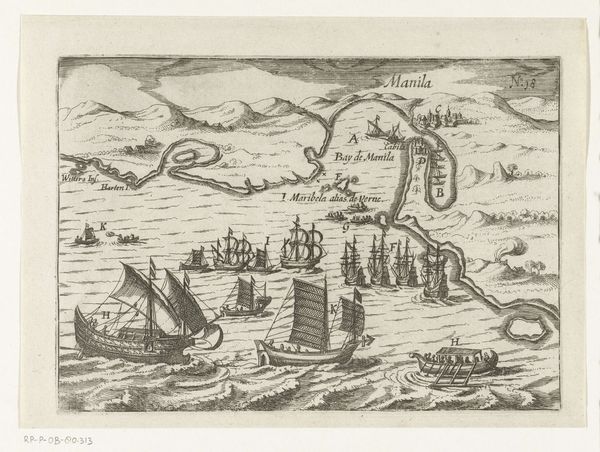
Curator: The work before us is a print by Jacobus Harrewijn, titled “Kaart van de Noordzee,” or “Map of the North Sea,” dating from around 1706 to 1712. It’s rendered in ink through engraving. Editor: Initially, I'm struck by the starkness of the map, it uses primarily monochrome to articulate this space. The open book format makes me consider it as an intimate viewing experience. Curator: Yes, intimacy and precision are key. The compass rose, elaborately adorned in the upper left, speaks to humanity’s persistent impulse to navigate and dominate the natural world. This, for a time increasingly preoccupied with the new world and distant resources. Editor: And visually, that compass dominates the composition, anchoring the scattered ships that mark the sea itself. I like how Harrewijn employs varied line weights in the engraving. Look at how the light reflects differently on the water based on how it's layered! Curator: Line weights were often used to illustrate both a sense of depth, but more literally, water currents and channels of travel in maps of this era, so you see how he might attempt to show both simultaneously. And these ships—each is a symbol of trade, exploration, and even conflict. Each a potential vessel carrying stories. Editor: Fascinating. Considering it's a landscape, the lack of detailed landmass creates an unexpected effect; those slender stretches almost read as interruptions within the emptiness of the ocean itself. A rather inverted presentation, isn't it? Curator: Indeed, but the map foregrounds human activity rather than natural terrain. Harrewijn offers a stage where human stories, told and untold, play out. The visual emphasis, here, truly becomes meaning. Editor: This kind of close reading enriches my viewing of this seemingly sparse visual field immensely. What appeared merely utilitarian is saturated in intentional design. Curator: Exactly. Maps transcend simple navigation; they capture desires and manifest anxieties and represent claims, both subtle and explicit, to possession and control. Editor: Yes, thank you for showing me there's more beneath this map than just paper and ink. Curator: My pleasure. Looking deeper rewards us with insights into our shared past and present.
Comments
No comments
Be the first to comment and join the conversation on the ultimate creative platform.