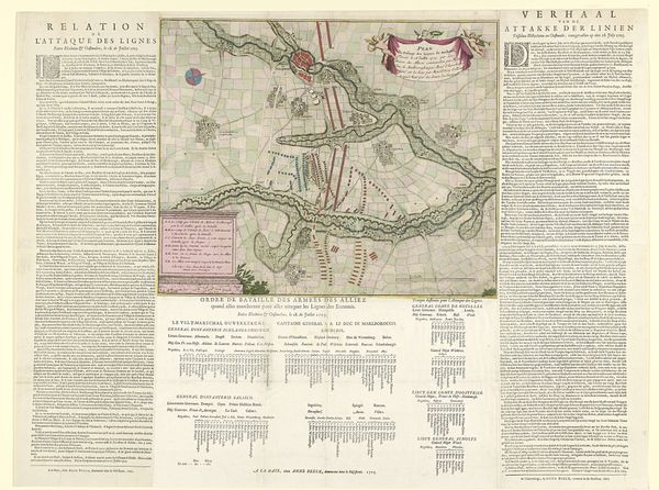
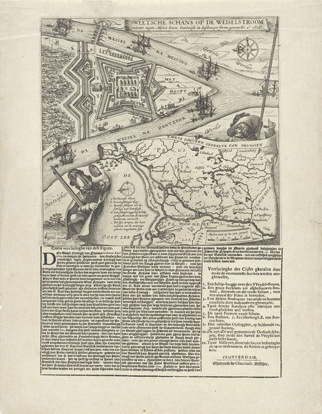
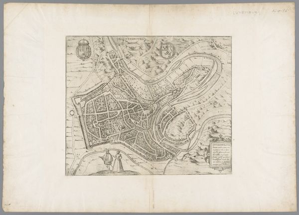
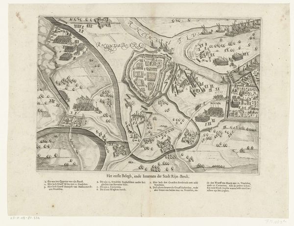
print, engraving
#
baroque
# print
#
old engraving style
#
history-painting
#
engraving
#
historical font
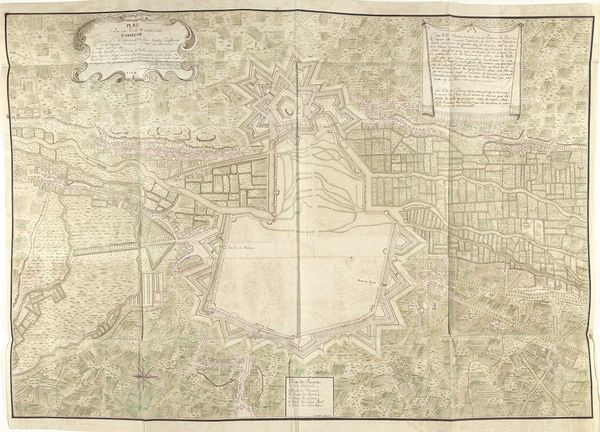
Dimensions: height 638 mm, width 825 mm
Copyright: Rijks Museum: Open Domain
Curator: This print, titled "Doorbraak van de Franse linies in Brabant, 1705," by Jan van Call, showcases a pivotal historical event with an almost dreamlike quality despite its precise details. Editor: My first impression? It's like a beautiful, elaborate puzzle box. So many little pieces fitting together to tell a story, or perhaps several stories, simultaneously. It feels quite Baroque. Curator: Indeed! The Baroque aesthetic is quite evident here. Notice how Van Call uses the print medium, specifically engraving, to create a detailed representation of the battle, focusing both on the topography and the troop arrangements. There’s almost an obsessiveness to the detailing. Editor: Right. I see it – the rivers meandering through the land almost resemble veins, and the arrangement of troops carries echoes of organized dance. There's a rhythmic tension – a balance that still manages to suggest violence and drama. Curator: Precisely. Even the text blocks, seemingly detached from the map itself, feel integral to the overall composition. It offers not just an image, but a narrative supported by textual explanation in both French and Dutch. They anchor the factual, while the imagery evokes something...deeper, wouldn't you say? Editor: I would. The font, which I assume is of that period, brings to my mind ideas about authority, how information was circulated, and how this particular breakthrough wanted to be recorded, controlled, framed for posterity... How much is strategic, how much propagandistic, how much just archival—or do all of these blend together? Curator: Excellent questions. The lines certainly blur, and I suspect intentionally so. Editor: It definitely sparks reflection on how we interpret historical events through visual symbols and how cultural memory is so shaped by imagery, whether paintings or meticulously etched battle plans like this one. The blend of map, military schema, and text constructs a multi-layered narrative about power. I think that is powerful, still today. Curator: I concur. "Doorbraak van de Franse linies in Brabant" serves as a reminder that images are not just records of history, but active participants in shaping its understanding. Editor: Well put! I think that kind of complexity, and interplay of intention, make art such a potent cultural mirror.
Comments
No comments
Be the first to comment and join the conversation on the ultimate creative platform.
More like this