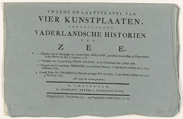
Omslag voor negentien prenten en kaarten met betrekking tot de overstromingen in Zuid-Holland en Gelderland in januari 1809 1809
0:00
0:00
johannesallart
Rijksmuseum
print, paper
# print
#
paper
Dimensions: height 371 mm, width 534 mm, height 727 mm, width 534 mm
Copyright: Rijks Museum: Open Domain
This is the cover for a series of prints and maps by Johannes Allart, made in Amsterdam in 1809. It documents the devastating floods in South Holland and Gelderland. These floods weren't just natural disasters; they were social levelers that exposed vulnerabilities across society. While the wealthy could afford to rebuild or relocate, the working class faced displacement and economic ruin. The event prompted public discourse about responsibility, resilience, and the uneven distribution of suffering. How do communities recover, and who gets left behind? Maps were not neutral documents; they had the power to shape narratives around who and what was deemed important. I invite you to consider the human stories behind the cartography, and how communities rebuilt their lives in the face of such devastation.
Comments
No comments
Be the first to comment and join the conversation on the ultimate creative platform.
