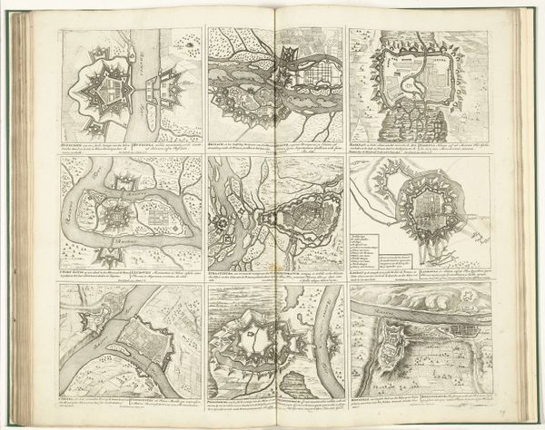
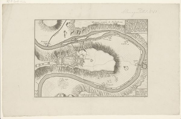
drawing, ink, engraving
#
drawing
#
baroque
#
pen drawing
#
landscape
#
ink
#
history-painting
#
engraving
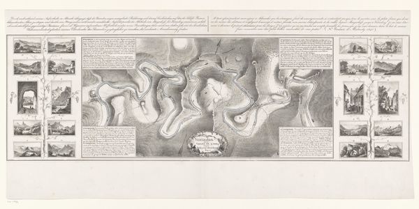
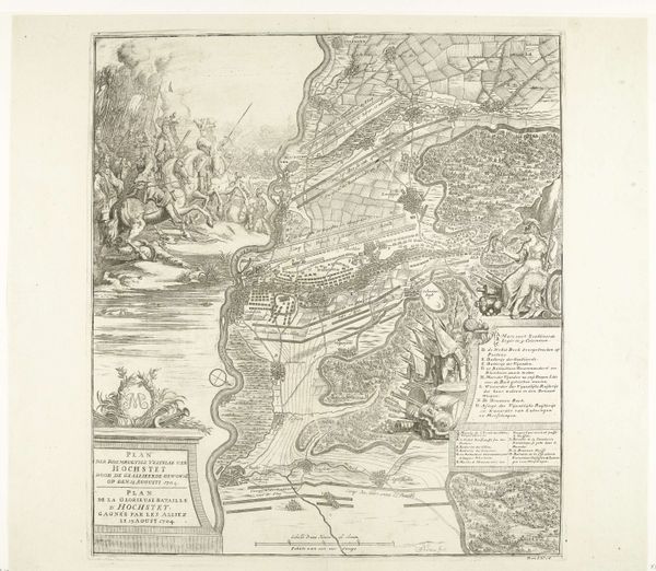
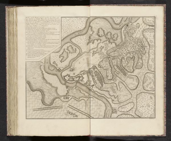
Dimensions: height 655 mm, width 923 mm
Copyright: Rijks Museum: Open Domain
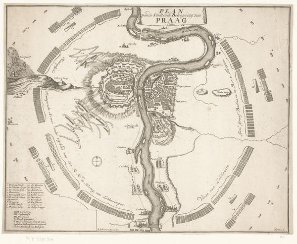
Jan van Vianen created this section of the "Map of the Battle of Höchstädt" in 1704, employing etching techniques to deliver a detailed visual account. The intricate lines and monochromatic scheme invite viewers to explore a complex interplay of space and form, almost reminiscent of early cartographic abstraction. Van Vianen's technical approach transcends mere historical documentation. He used line and form to construct a semiotic system of signs representing landscape, fortifications, and troop movements. The density and directionality of the lines create a spatial depth, challenging the flat picture plane. This relates to post-structuralist ideas about how maps, like language, construct rather than simply reflect reality. Note the balance between areas filled with detail and open spaces, guiding the eye through the battle's key moments. This interplay underscores how cartography can be a form of rhetoric, shaping perceptions of power and spatial control. Here, Van Vianen’s work offers not just a visual record, but a complex interplay of spatial, military, and symbolic forms.
Comments
No comments
Be the first to comment and join the conversation on the ultimate creative platform.
More like this