drawing, paper, watercolor
#
drawing
#
impressionism
#
landscape
#
river
#
paper
#
watercolor
#
watercolor
Dimensions: height 31 mm, width 53 mm
Copyright: Rijks Museum: Open Domain
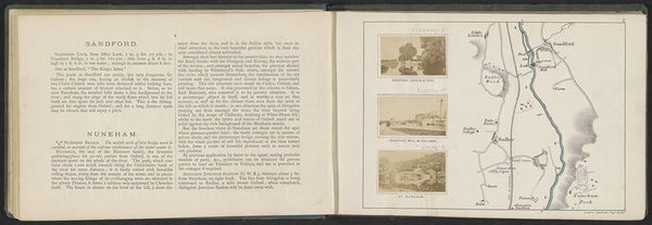
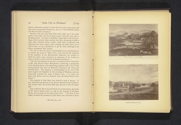
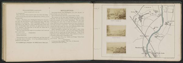
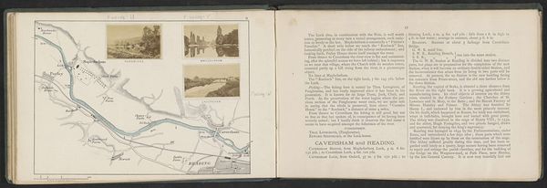
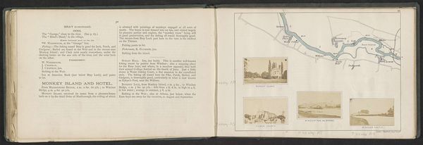
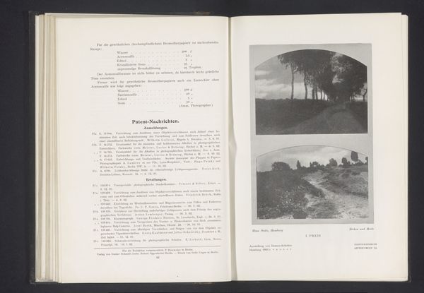
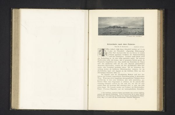
Curator: This is an intriguing sketchbook spread by Henry W. Taunt. The work, titled “Gezicht vanaf Eel Pie Island in de Theems,” was created around 1871, using watercolor and drawing on paper. Editor: It's like a visual diary! There's a serene feeling, yet I’m drawn to the crisp details against the hazy wash of the watercolors. It's a peaceful image, almost…nostalgic? Curator: Nostalgia certainly plays a part. Eel Pie Island holds potent symbolic weight in British cultural memory. Think of its history as a haven for jazz and blues in the 60s—a site of counter-cultural resonance that complicates its idyllic appearance here. Editor: Ah, yes! It's important to acknowledge the loaded social history attached to idyllic landscapes such as these, when so much exploitation and forced labour took place on waterways during the Victorian era. I wonder how ordinary people are portrayed and in what ways? This has obvious political and historical relevance. Curator: Taunt’s focus wasn't necessarily on overt social commentary but rather a fascination with recording and categorizing his environment. His attention to detail reminds me of other artist-cartographers like Albin Brunovsky in the way he sees geography with pictorial depth. The symbols and scale used speak to an awareness of both nature's grandeur and the power of claiming space through representation. Editor: Absolutely! And beyond simply 'claiming space,' these types of visualisations have been historically complicit in environmental devastation and empire-building—both in service to those seeking to possess and exploit people and resources in this particular part of the world. I'm especially drawn to how the watercolour creates atmosphere, it adds a layer of ambiguity which highlights nature as simultaneously attractive and impenetrable. Curator: A vital observation. It underlines the multilayered symbolic potential of what seems a simple landscape study. What we interpret from symbols change over time—their impact can differ drastically based on who is looking at it. Editor: Exactly. This work definitely pushed me to consider those contradictions—and the role of landscape imagery in shaping our understanding of the environment itself.
Comments
No comments
Be the first to comment and join the conversation on the ultimate creative platform.
