About this artwork
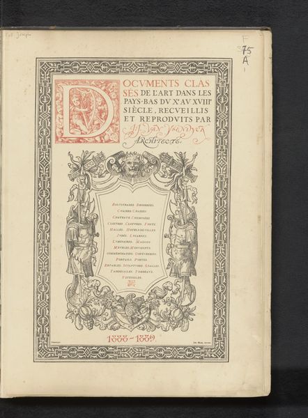
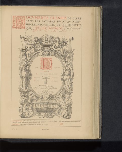
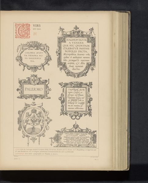
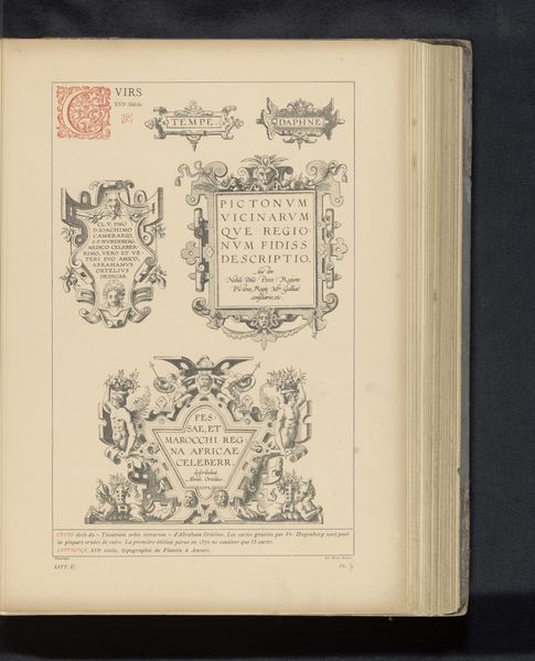
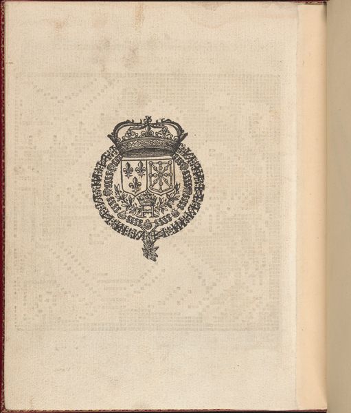
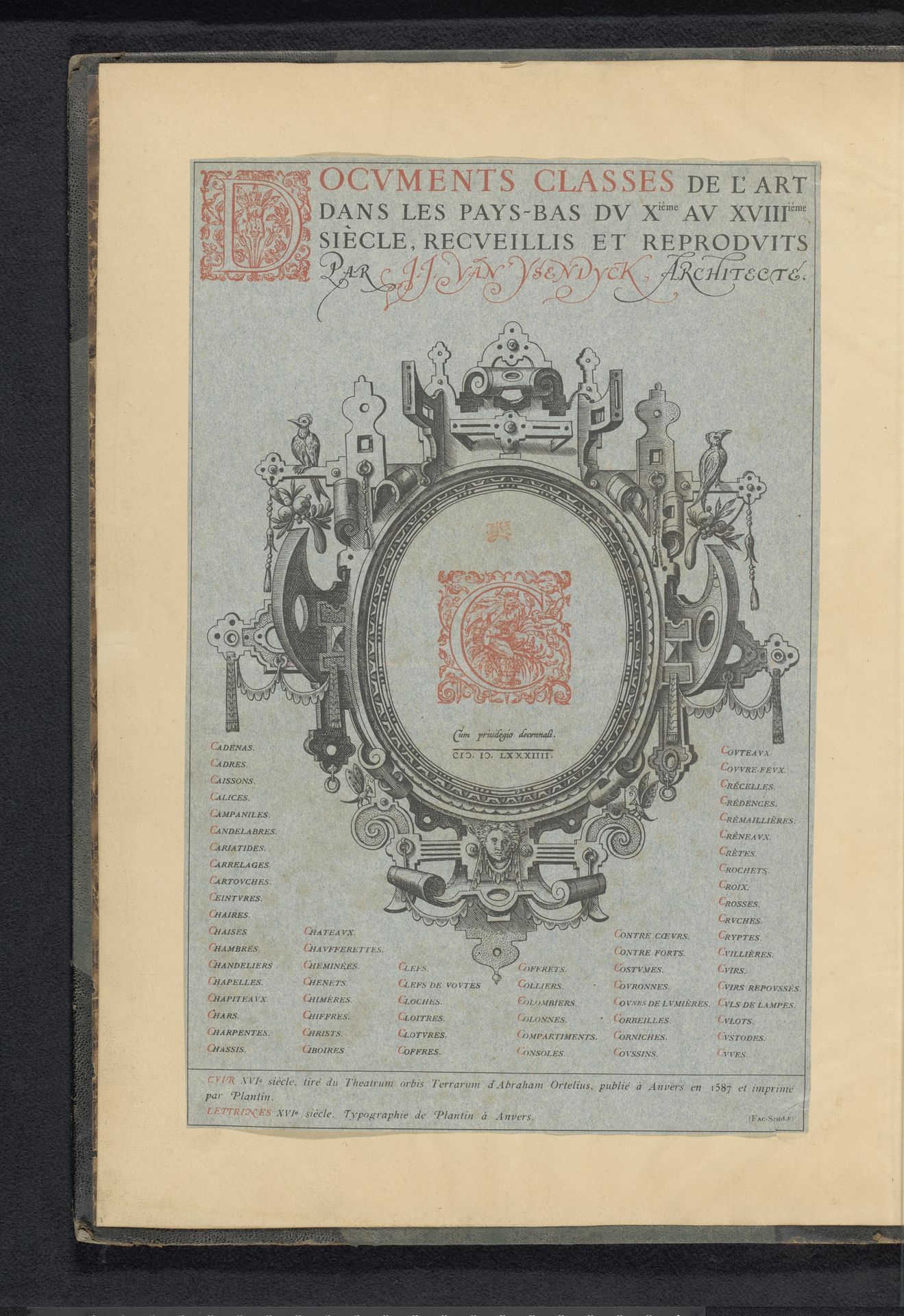
This is a reproduction of a title page from an atlas by Abraham Ortelius, created anonymously with an unknown date. The title page, brimming with the promise of discovery, invites us to consider the mapping of not just geography, but also identity. Cartography has historically been a tool of empire. In the early modern period, the creation of atlases served to categorize and lay claim to territories, often at the expense of indigenous populations and their ways of knowing. The atlas as a form reflects a desire to order and control the world, a pursuit deeply entangled with the politics of colonialism and trade. Consider the role of Antwerp, where Ortelius published his atlas, as a burgeoning center of commerce and cultural exchange. This print encapsulates the era's ambition to chart not just the earth, but also knowledge itself. The visual language used on the title page, with its intricate ornamentation and classical motifs, speaks to the period's complex relationship with power and representation. How do these historical maps shape our understanding of place and belonging today?
Reproductie van een titelpagina uit een atlas van Abraham Ortelius before 1880
Anonymous
@anonymousLocation
RijksmuseumArtwork details
- Medium
- graphic-art, print, typography, engraving
- Dimensions
- height 340 mm, width 230 mm
- Location
- Rijksmuseum
- Copyright
- Rijks Museum: Open Domain
Tags
graphic-art
11_renaissance
typography
coloured pencil
history-painting
engraving
historical font
columned text
Comments
No comments
About this artwork
This is a reproduction of a title page from an atlas by Abraham Ortelius, created anonymously with an unknown date. The title page, brimming with the promise of discovery, invites us to consider the mapping of not just geography, but also identity. Cartography has historically been a tool of empire. In the early modern period, the creation of atlases served to categorize and lay claim to territories, often at the expense of indigenous populations and their ways of knowing. The atlas as a form reflects a desire to order and control the world, a pursuit deeply entangled with the politics of colonialism and trade. Consider the role of Antwerp, where Ortelius published his atlas, as a burgeoning center of commerce and cultural exchange. This print encapsulates the era's ambition to chart not just the earth, but also knowledge itself. The visual language used on the title page, with its intricate ornamentation and classical motifs, speaks to the period's complex relationship with power and representation. How do these historical maps shape our understanding of place and belonging today?
Comments
No comments