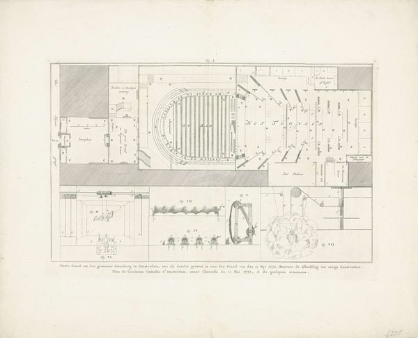
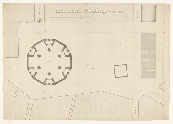
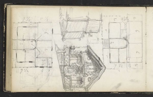
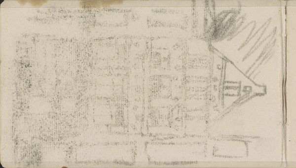
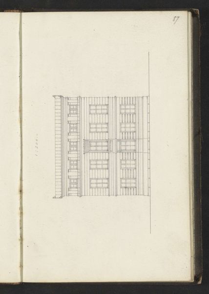
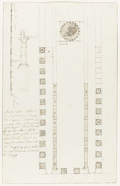
Plattegrond van waterreservoir in omgeving van Lac de Lentini en ruïne van gedenkteken 6 mijl van Syracuse 1778
0:00
0:00
louismayer
Rijksmuseum
drawing, print, etching, engraving, architecture
#
architectural sketch
#
drawing
#
aged paper
#
map drawing
# print
#
etching
#
old engraving style
#
architectural plan
#
hand drawn type
#
etching
#
architectural section drawing
#
architectural drawing
#
architecture drawing
#
engraving
#
architecture
Dimensions: height 346 mm, width 234 mm
Copyright: Rijks Museum: Open Domain
Louis Mayer created this drawing of a water reservoir, using ink on paper. The materials are simple, yet the execution is meticulous. Notice the careful lines and precise measurements; they speak to the social context in which this drawing was made. The drawing is not art for art's sake, but rather a technical document, intended to convey information about the reservoir's structure and layout. The tools involved would have included a fine pen or stylus, a ruler, and perhaps a compass for the circular plan. These are the instruments of both the artist and the engineer, reflecting a time when these disciplines were not so rigidly separated. The very act of mapping and documenting suggests an interest in control and management of resources, pointing to social issues of labor, infrastructure, and the organization of civic life. Understanding Mayer's drawing requires appreciating it not just as an image, but as a record of human effort. The amount of work involved in the production of the water reservoir would have been substantial.
Comments
No comments
Be the first to comment and join the conversation on the ultimate creative platform.
More like this