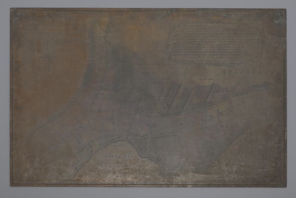
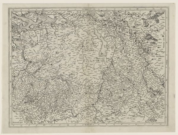
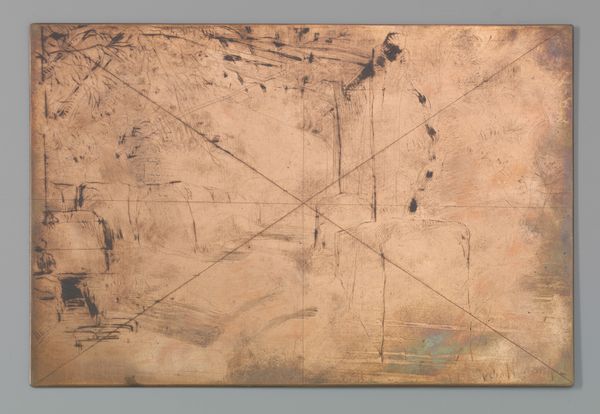
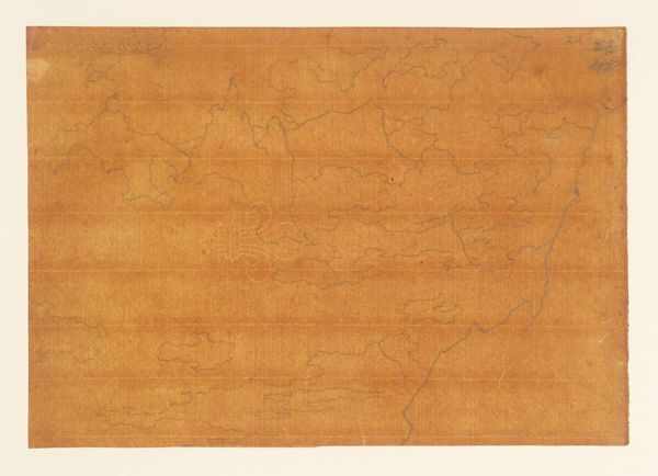
Koperplaat met een kaart van de Landen van Heusden en Altena 1798
0:00
0:00
danieliveelwaard
Rijksmuseum
drawing, print, metal, etching, engraving
#
drawing
# print
#
metal
#
etching
#
landscape
#
line
#
history-painting
#
engraving
#
realism
Dimensions: height 670 mm, width 1040 mm
Copyright: Rijks Museum: Open Domain
This copperplate with a map of the Landen van Heusden en Altena was made by Daniël Veelwaard. This map represents more than just geographical data; it embodies the political, economic, and social forces that shaped the Netherlands at the time. Maps like this were crucial tools for governance, military strategy, and economic planning. They were commissioned by institutions such as local governments or wealthy landowners, reflecting their interests and power. Consider the precise rendering of waterways, roads and boundaries. In a country defined by its relationship with water, control over these resources was paramount. The map, therefore, becomes a statement about power, jurisdiction, and the ordering of society. Historical archives, local records, and institutional papers can provide a deeper understanding of the purposes behind it. By examining the social and institutional context, we reveal how the creation and interpretation of this map was shaped by specific interests and power dynamics.
Comments
No comments
Be the first to comment and join the conversation on the ultimate creative platform.
More like this