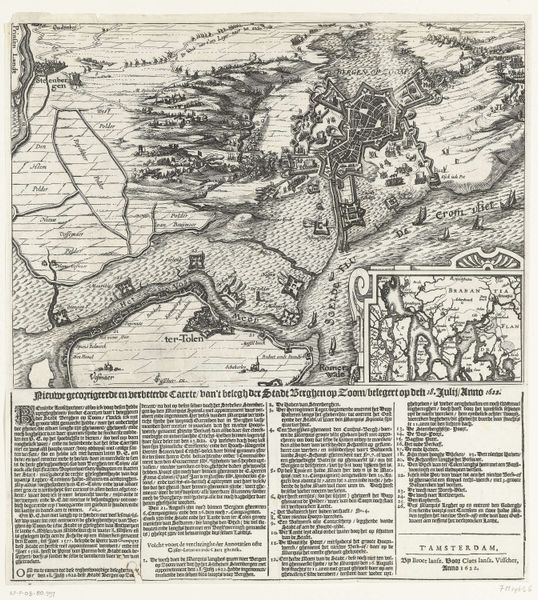
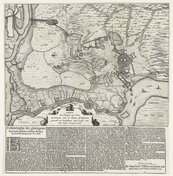
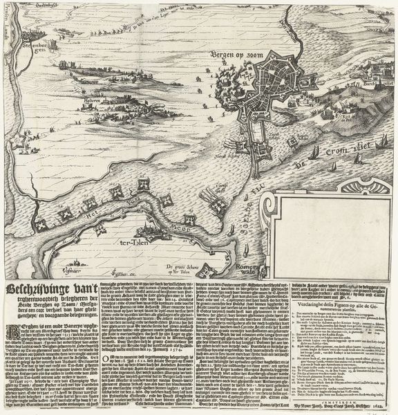
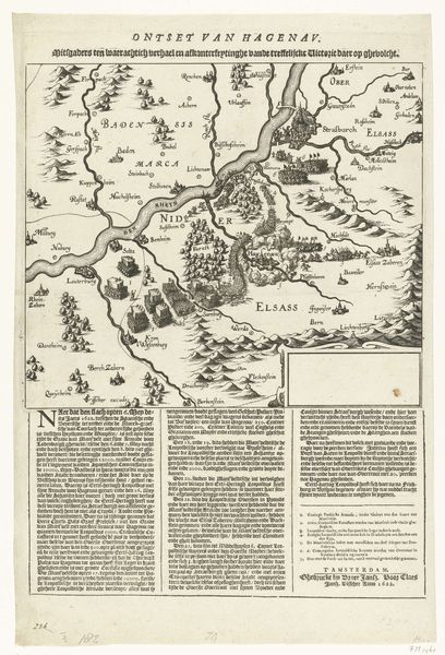
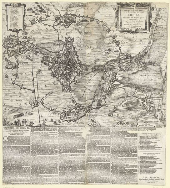
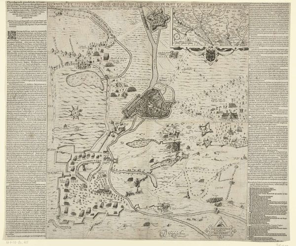
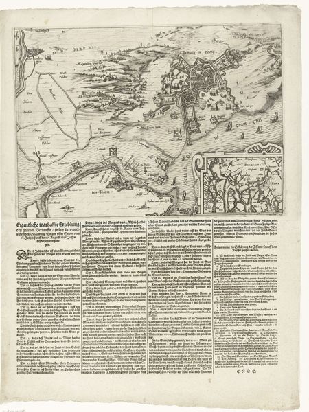
Kaart van het beleg van Den Bosch en een plattegrond van de stad, 1629 1629
0:00
0:00
anonymous
Rijksmuseum
print, engraving
#
baroque
#
dutch-golden-age
# print
#
cityscape
#
engraving
Dimensions: height 377 mm, width 462 mm, height 207 mm, width 310 mm, height 700 mm, width 465 mm
Copyright: Rijks Museum: Open Domain
Curator: Oh, what a fantastically detailed map! It gives me goosebumps just looking at it. All those tiny roads and rivers...it feels almost alive. Editor: Indeed. This is "Kaart van het beleg van Den Bosch en een plattegrond van de stad, 1629," or, "Map of the Siege of Den Bosch and a plan of the City, 1629," an engraving, created in the Dutch Golden Age, now residing here at the Rijksmuseum. The lines are just exquisite, no? The composition is remarkable in its clear separation between the macro view of the Brabant region above and the specific details of the city plan itself. Curator: Macro and micro—exactly! It’s like the mapmaker is winking at us, inviting us to get lost in the details but not forget the big picture, like, here we are. You can almost smell the gunpowder and the earth. I wonder who walked those tiny roads… Editor: I’m more interested in the artist's perspective—or, rather, perspectives. The high-angle view employed is interesting in its implication of a certain objective authority—an almost "god-like" all-seeing point of view. But, observe how that shifts in the lower register to a more intimate rendering of the urban layout... It denotes both overview and immediacy. Note also how this artist creates the sense of deep recession with a series of lines as a technique. It is a compelling structural choice. Curator: I see it totally differently. I think that shifting perspective makes me feel like I'm caught *in* the siege. It is dynamic. There are two views representing two parts of the experience. The macro view is distant, what the generals would plan with and that closer more intimate image of Den Bosch, which represents the citizens view. That shift creates a kind of visceral anxiety. And anxiety for the town folks who could feel nothing more than helpless and small at the time. Editor: Ah, well, artistic interpretation, like politics, makes for strange bedfellows, I suppose. Nevertheless, its structural integrity holds—regardless of its "feel." A remarkably skillful engraving from this anonymous maker. Curator: Well, structural integrity *and* feels are important to understanding. And regardless, I know I’m left with a newfound connection to Den Bosch. A beautiful combination of artistry and cold, hard history that makes my heart ache for that city and all its inhabitants.
Comments
No comments
Be the first to comment and join the conversation on the ultimate creative platform.
More like this