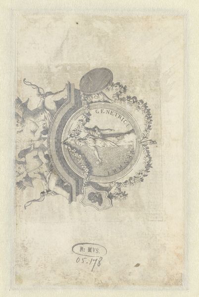
drawing, ink, pen
#
drawing
#
neoclacissism
#
pen sketch
#
landscape
#
ink
#
pen
#
cityscape
Dimensions: height 328 mm, width 230 mm
Copyright: Rijks Museum: Open Domain
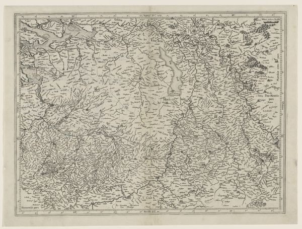
Jan Brandes created this map of Doetinchem using pen and gray ink on paper sometime in the late 18th or early 19th century. Brandes, born in 1743, lived during the Dutch Golden Age, a time marked by economic prosperity and cultural flourishing, but also increasing social stratification. His map is more than just a geographical representation; it's a window into the social dynamics of the time. The meticulous listing of names alongside the depiction of streets and buildings suggests an effort to document or perhaps even control, the population and resources of the town. Brandes's detailed rendering offers a narrative of community, property, and identity. It invites us to consider who is included and who is left out. Maps have always been instruments of power, dictating how we perceive and interact with the world. As you look at this Plattegrond van Doetinchem, consider how it reflects both the physical layout and the societal structures of its time, and what it tells us about belonging and exclusion.
Comments
No comments
Be the first to comment and join the conversation on the ultimate creative platform.
