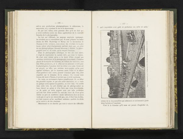
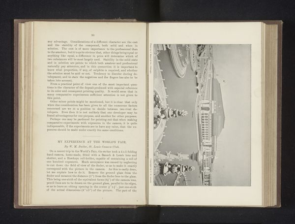
Luchtfoto van de Seine, Île Saint Louis en de Pont Louis-Philippe Possibly 1885 - 1886
0:00
0:00
print, photography
# print
#
river
#
photography
#
cityscape
Dimensions: height 103 mm, width 145 mm
Copyright: Rijks Museum: Open Domain
Editor: Here we have "Aerial view of the Seine, île Saint-Louis and the Pont Louis-Philippe" by Gaston Tissandier, likely from 1885 or 1886. It’s a printed photograph and there's something fascinating about seeing Paris from this unusual perspective, like looking at a map. What’s your take on this aerial view? Curator: It's really a revolutionary image. It allows us to reflect on the evolving power dynamics of the late 19th century, particularly the relationship between technology, military strategy, and public perception. What do you think of the use of a balloon in taking this photograph? Editor: Well, it strikes me as both ingenious and sort of quaint. It's pre-airplane, right? A balloon feels so... fragile, compared to the power suggested by the photographic technology. Curator: Exactly. This photograph participates in the public fascination with technological advancement. The development of aerial photography and the technology helped reshape perceptions of space and control. Before, the representation of urban landscapes was different, right? Editor: True, paintings and engravings usually focus on street-level views or idealized panoramic vistas. This feels very objective, detached. Almost clinical. Curator: Indeed. Also think of the colonial implications of such images and knowledge. Aerial views provided power, control and new ways of depicting landscapes, that played a part in social control, mapping for administration. Did it make you rethink photography and art from the period? Editor: Definitely. Seeing it in that context really shifts my understanding. It is not *just* a pretty view.
Comments
No comments
Be the first to comment and join the conversation on the ultimate creative platform.
More like this