drawing, print, paper, engraving
drawing
baroque
dutch-golden-age
perspective
paper
geometric
geometric-abstraction
line
cityscape
engraving
Dimensions: height 173 mm, width 207 mm
Copyright: Rijks Museum: Open Domain
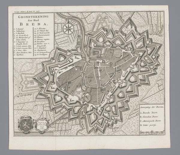
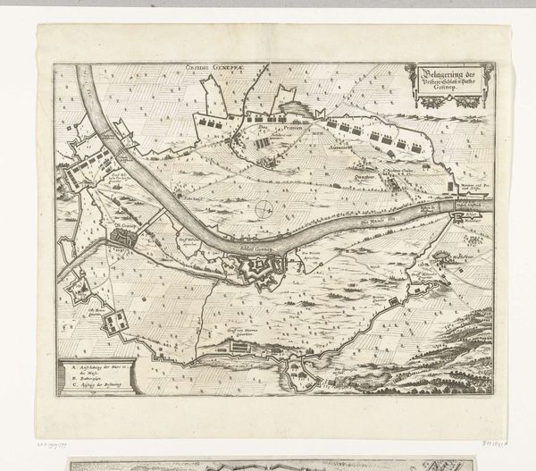
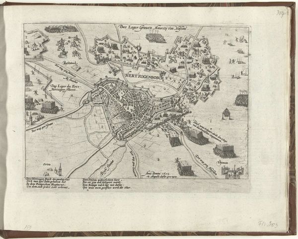
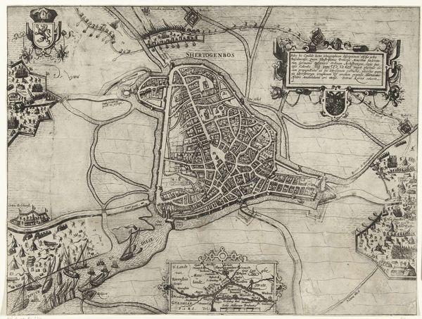
This is an undated anonymous map of ‘s-Hertogenbosch, now in the collection of the Rijksmuseum. The detailed rendering of the city’s fortifications and strategic layout, reflects the socio-political context of the Netherlands, a region historically vulnerable to invasion and deeply shaped by its military history. Visual codes within the map reveal much about the city's defenses, with careful attention given to bulwarks, moats, and strategic entry points. Consider how the very act of mapping served as an assertion of control, a way to understand and manage urban space for military and administrative purposes. The map should also be understood within the institutional history of cartography, as the Netherlands became a center for map-making and geographical knowledge, playing a crucial role in the age of exploration and colonization. As historians, we can delve deeper into understanding the social conditions that shaped its production. By researching period documents, military records, and urban plans, we can reconstruct the world in which this map was not just a representation, but an active tool in shaping the social and political landscape of ‘s-Hertogenbosch.
Comments
No comments
Be the first to comment and join the conversation on the ultimate creative platform.
More like this