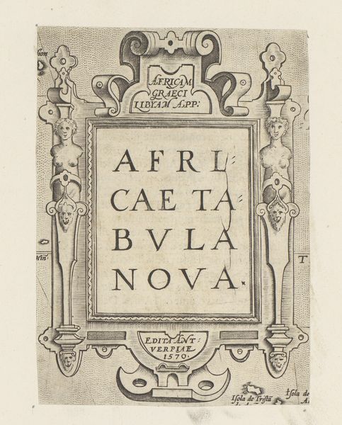
print, engraving
#
written text
#
sand serif
#
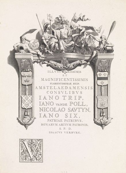
baroque
# print
#
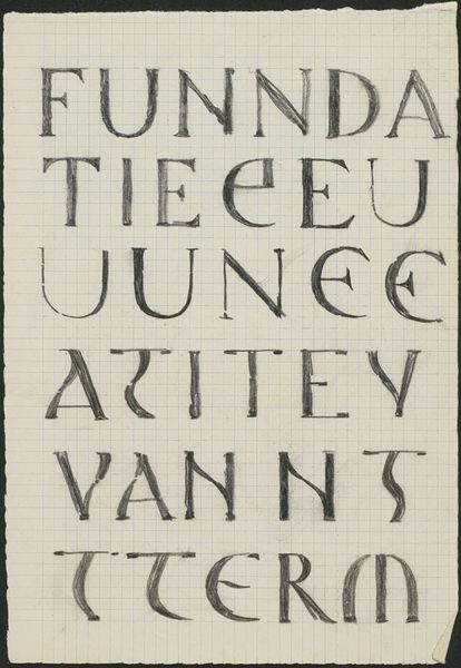
hand drawn type
#
hand-written
#
stylized text
#
thick font
#
cityscape
#
handwritten font
#
golden font
#
classical type
#
engraving
#
historical font
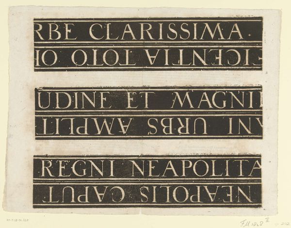
Dimensions: 1850 mm (height) x 1300 mm (width) (monteringsmaal), 555 mm (height) x 435 mm (width) (bladmaal)
Matthäus Greuter created this Map of Rome in 1633 using engraving. At first glance, the work's organization into horizontal bands draws the eye, each containing dense text and intricate illustrations rendered in stark black lines against a pale background. The use of monochrome emphasizes clarity and precision, evoking a sense of scholarly exactitude. Greuter's map is more than a geographical document; it’s a semiotic system. Each line, carefully etched, signifies urban planning and architectural details, while the Latin text acts as a key, unlocking layers of meaning. It reflects an early modern desire to impose order on the chaos of urban life, using cartography as a form of control and understanding. The map not only represents Rome but also communicates the cultural values and aspirations of its time. The strategic arrangement of text and image embodies a structuralist approach, where each element contributes to the overall narrative of Rome as an ordered, knowable space. This engraving is not merely a map; it’s a statement about knowledge, power, and representation.
Comments
No comments
Be the first to comment and join the conversation on the ultimate creative platform.
More like this