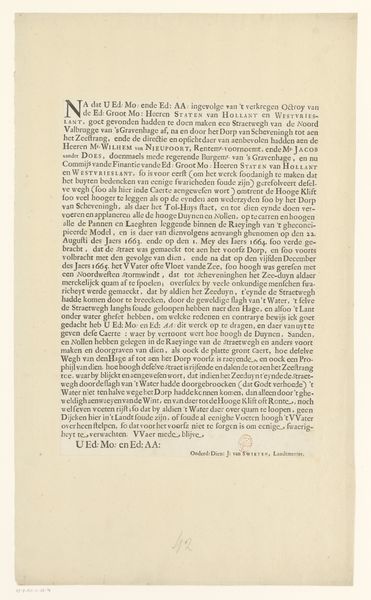
Kaart van het Hoogheemraadschap van Schieland, beschrijvende tekst 1611 - 1635
0:00
0:00
florisbalthasarszvanberckenrode
Rijksmuseum
graphic-art, print, engraving
#
graphic-art
#
dutch-golden-age
# print
#
old engraving style
#
landscape
#
geometric
#
engraving
Dimensions: height 307 mm, width 295 mm
Copyright: Rijks Museum: Open Domain
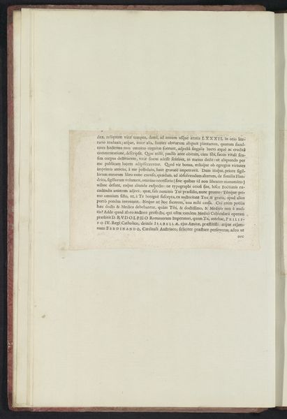
This is a descriptive text from a map of the Schieland region, created between 1609 and 1611 by Floris Balthasarsz van Berckenrode. Written in early modern Dutch, the text underscores the cultural and societal importance of mapping during this time, and how essential it was to governance. It highlights the practical applications of cartography such as resolving land disputes between neighbors, while also noting the aesthetic pleasures derived from studying maps. The map was commissioned by the Dijkgraaf, a water board responsible for managing the waterways and dikes, and other officials of Schieland. This tells us about the constant negotiation between land, water and the communities who lived there. Encroaching seas and floods were a constant threat. Land was not just territory, but a critical resource to be defended and carefully managed through collective efforts. The map therefore embodies a sense of shared responsibility and the ongoing struggle to maintain order and control in a precarious environment.
Comments
No comments
Be the first to comment and join the conversation on the ultimate creative platform.
More like this