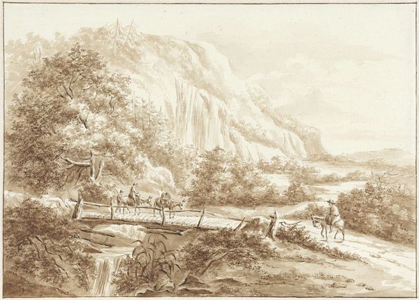
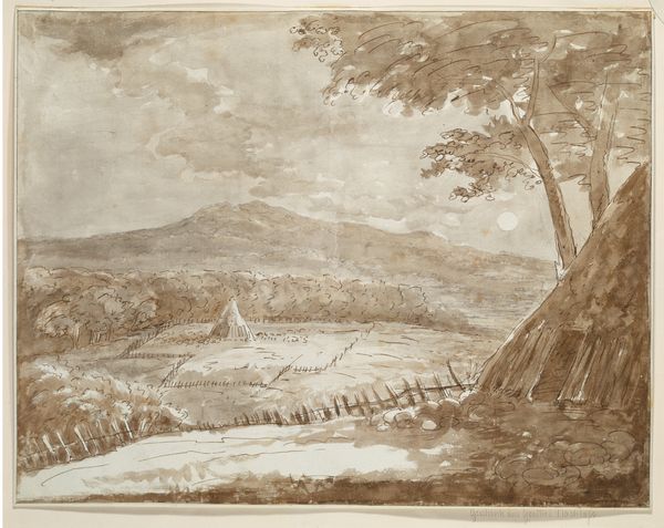
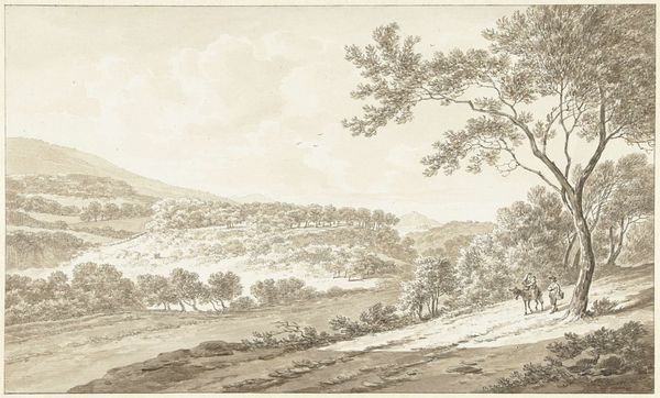
drawing, ink, pencil
#
drawing
#
baroque
#
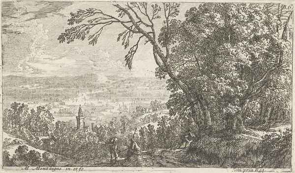
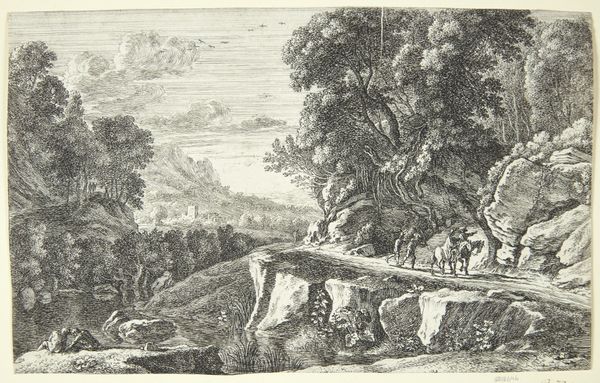
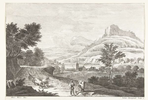
landscape
#
ink
#
pencil
#
cityscape
Dimensions: height 348 mm, width 492 mm
Copyright: Rijks Museum: Open Domain
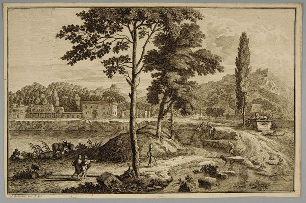
This drawing of Namur and the River Maas was made by Dirk Maas around the turn of the 18th century. It shows not only the natural landscape of the Low Countries but also the fortifications being constructed around the city. From this high vantage point, Maas highlights the relationship between military power and the control of territory. The Low Countries were a hotly contested region in this period. Namur changed hands multiple times, as did many cities in the area. Maps and cityscapes like this were often commissioned by military engineers and political leaders to document sieges and fortify claims to territory. Consider how the artist emphasizes the cannons in the foreground, underscoring the military's engineering prowess, and how that would contribute to the politics of imagery at the time. As historians, we can use sources such as military archives, treatises on fortification, and political pamphlets to better understand the role of art in shaping territorial power during the early modern period.
Comments
No comments
Be the first to comment and join the conversation on the ultimate creative platform.
More like this