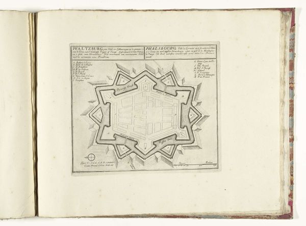
Dimensions: height 221 mm, width 288 mm
Copyright: Rijks Museum: Open Domain
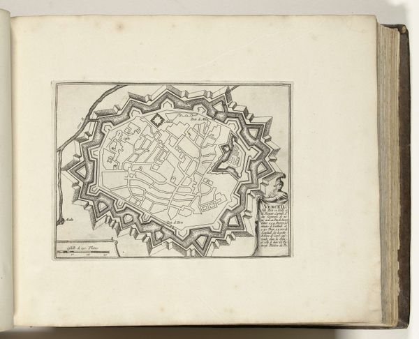
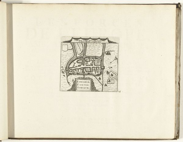
This is a map of Mannheim, made by the brothers Klauber. Its neat lines are etched into a copper plate, which would then have been inked and pressed onto paper. The regularity of the streets speaks volumes about the city's design. Laid out in a grid, it reflects an ambition for control and order. The mapmakers have not only captured the city's layout, but also the mindset of the era. The city's key buildings are labeled in German and French – a testament to the cultural influences at play. The map's creation involved several skilled laborers: the draughtsman who surveyed the city, the engraver who meticulously cut the image into the copper, and the printer who produced the final product. Each stage of the process required specialized knowledge and expertise. Consider how this contrasts with contemporary methods of mapping using digital tools. This handcrafted map reminds us of the human effort that goes into creating and disseminating knowledge. It’s a beautiful, tangible representation of a city and a specific moment in time.
Comments
No comments
Be the first to comment and join the conversation on the ultimate creative platform.
More like this