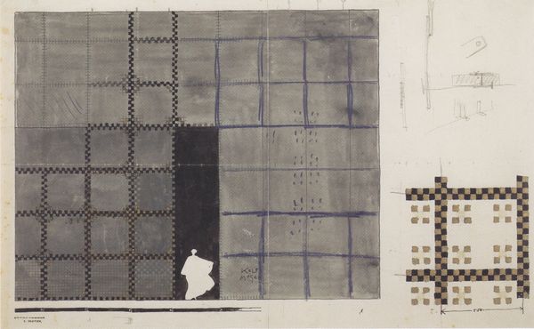
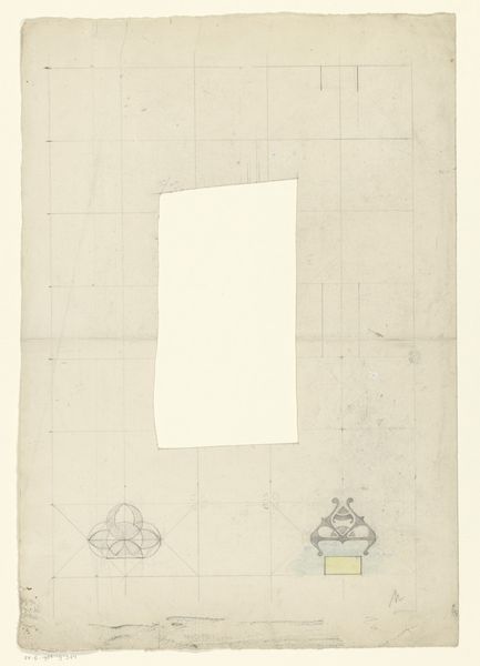
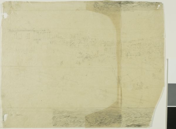
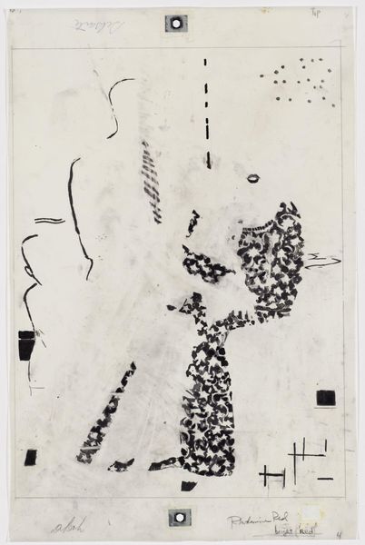
Day 322, Survey U, Sectors 15 and 16 1967
0:00
0:00
print, photography
#
conceptual-art
# print
#
photography
#
geometric
Dimensions: 74.4 × 30.1 cm (29 5/16 × 11 7/8 in.)
Copyright: Public Domain
This is ‘Day 322, Survey U, Sectors 15 and 16’, made by the United States Geological Survey. The image is both a photograph and a collage that documents a certain territory, but it also demonstrates the politics of imagery. Created by a government institution, the image presents a system of mapping. The way that land is cataloged, understood, and ultimately owned is at the heart of social and economic structures. The USGS was founded in 1879 in response to the need to map the American West, and the agency played an important role in the expansion of the country. Surveying and mapping served the purposes of resource extraction, infrastructure development, and military planning. This image asks us to consider the social and cultural forces through which land is surveyed, categorized, and exploited. When looking at a work like this, the historian might consult maps, archives, and other documents in order to better understand the relationship between this image, the institution that created it, and the broader social context in which it was made.
Comments
No comments
Be the first to comment and join the conversation on the ultimate creative platform.
More like this