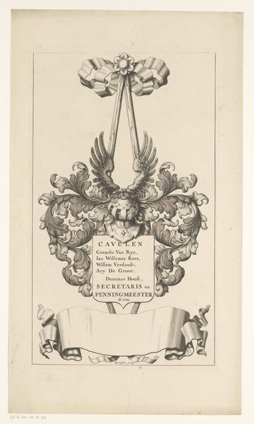
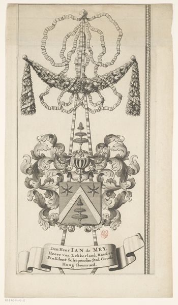
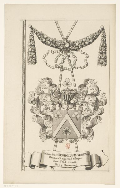
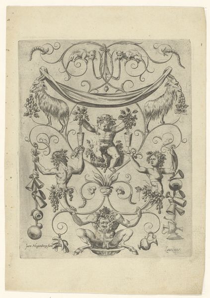
Kaart van het Hoogheemraadschap van de Krimpenerwaard (deel wapenrand) 1683 - 1741
0:00
0:00
drawing, ink, engraving
#
drawing
#
baroque
#
form
#
ink
#
line
#
decorative-art
#
engraving
Dimensions: height 445 mm, width 264 mm
Copyright: Rijks Museum: Open Domain
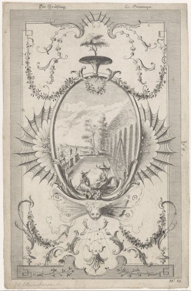
David Coster created this section of a map of Krimpenerwaard, using engraving techniques, likely in the early 18th century. The immediate visual impression is one of elaborate symmetry, centered on a heraldic crest. We see a riot of ornamental forms—ribbons, wings, foliage—all rendered in delicate lines that give the image a tangible texture. This kind of heraldic art is not merely decorative; it operates as a complex sign system. The lute displayed on the shield alludes directly to the name of the nobleman Frederick Luyt. Such semiotic encoding was typical of the period, reflecting a belief in the power of symbols to communicate status and identity. Consider how the formal structure of the crest—its symmetry, its careful balance of elements—mirrors the social order it represents. The crest isn’t simply a visual object; it’s a statement about power, lineage, and the established hierarchies of Dutch society.
Comments
No comments
Be the first to comment and join the conversation on the ultimate creative platform.
More like this