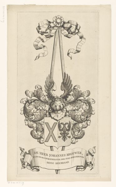
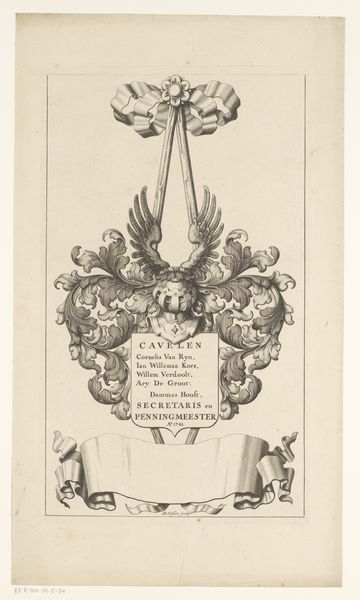
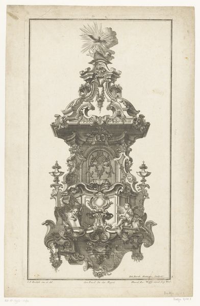
Kaart van het Hoogheemraadschap van de Krimpenerwaard (deel wapenrand) 1683 - 1741
0:00
0:00
graphic-art, print, engraving
#
graphic-art
#
baroque
#
pen drawing
# print
#
geometric
#
line
#
pen work
#
decorative-art
#
engraving
Dimensions: height 527 mm, width 264 mm
Copyright: Rijks Museum: Open Domain
Curator: The work before us is a fascinating example of cartographic art, titled "Kaart van het Hoogheemraadschap van de Krimpenerwaard (deel wapenrand)," dating from 1683 to 1741. It's an engraving, a print made with meticulous lines and details. Editor: The first thing I notice is its stark formality. It feels almost aggressively bureaucratic with the heraldic crest looming over the title banner. Is that a municipal symbol perhaps? It hints at systems of power. Curator: Precisely! It's a partial image from a larger map detailing the Krimpenerwaard region, which required diligent water management efforts in the Dutch Republic. Focus on the materiality – this wasn't merely aesthetic; the print served practical functions. Editor: So, its purpose goes beyond just decorative? The very act of printing these maps— the resources, the patronage involved— speaks volumes about control over the landscape. What kind of societal structures do you think sustained the creation of this kind of work? Curator: The production suggests the power of Dutch hydraulic engineering and the skilled labour behind it. From paper production to the engraver’s mastery, many hands contributed to the manufacture and proliferation of the image. These material aspects are telling when analyzing trade and distribution within the seventeenth-century economy. Editor: Right, the waterways controlled, and their representation legitimized, solidify Dutch claims and demonstrate Dutch mastery. We see this rhetoric of dominion played out continually when mapping intersects with colonialism and governance. Curator: Yes, although focused on internal, domestic infrastructures, the map shares production aspects with printed matter circulated overseas to bolster colonial projects. Looking closer, one sees fine lines that suggest precision, necessary when translating three dimensions onto a flat surface for purposes of water resource allocation and navigation. Editor: Thinking about its reception brings up other thoughts— who accessed these maps, and how were these spaces experienced differentially based on class, gender, access? Did cartographic literacy grant certain individuals social advantage? Curator: Definitely. Literacy would influence navigation of these physical landscapes. The image becomes part of a feedback loop, both documenting space and conditioning behaviours within that space. These factors tie it to material and social agency. Editor: An image filled with rich contexts and compelling social insight. Curator: Indeed, a microcosm for interrogating much larger historical processes at play.
Comments
No comments
Be the first to comment and join the conversation on the ultimate creative platform.
More like this