print, photography, photomontage
# print
#
photography
#
geometric
#
photomontage
#
cityscape
Dimensions: height 170 mm, width 230 mm
Copyright: Rijks Museum: Open Domain
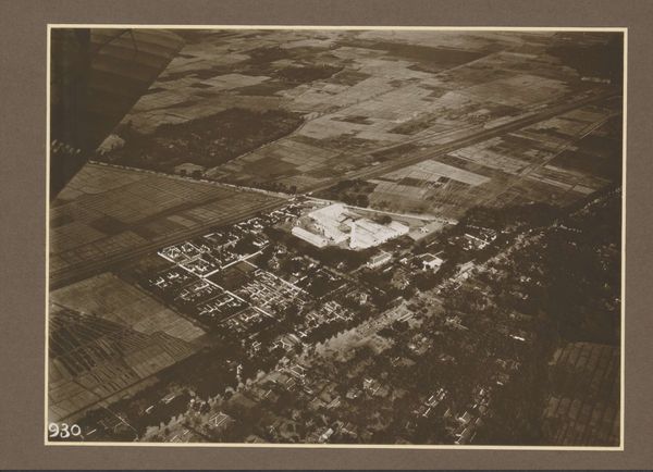
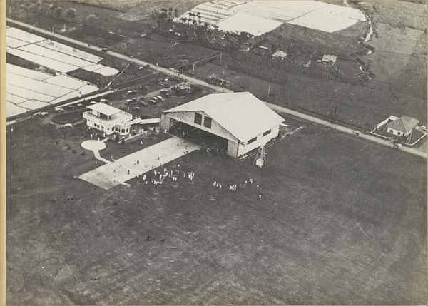
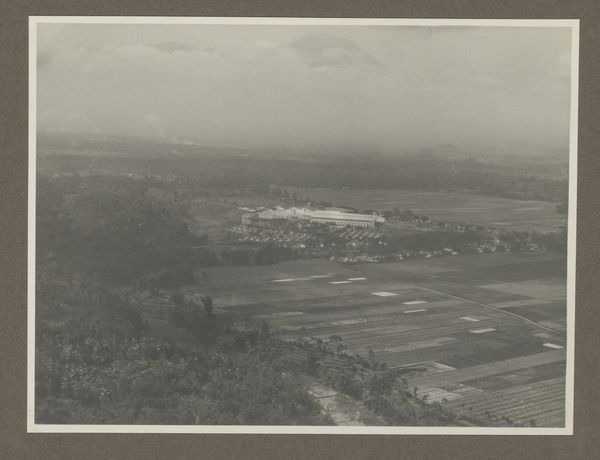
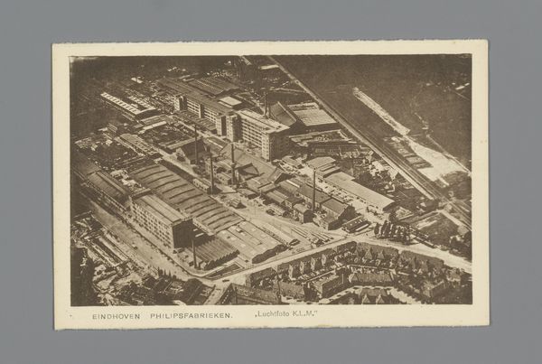
This aerial photograph of Goenoengsari was produced by Atelier Kurkdjian. Considered from above, the image offers a fascinating insight into early twentieth-century urban planning and colonial power structures in Indonesia. The photograph presents a meticulously organized landscape, with symmetrical arrangements of buildings and clearly defined roads. Such planning reflects the colonial administration's desire to impose order and control on the territory. The careful arrangement of housing suggests social hierarchies, perhaps separating European administrators from the local population. Looking at such an image, we might ask, who commissioned this photograph and for what purpose? Was it intended to showcase the achievements of colonial administration, or perhaps for military intelligence? To fully understand an image like this, we need to delve into archival documents, maps, and other historical records to uncover the social and political context in which it was created. Such research can reveal the complex power dynamics inherent in colonial photography and its role in shaping perceptions of Indonesian society.
Comments
No comments
Be the first to comment and join the conversation on the ultimate creative platform.
More like this