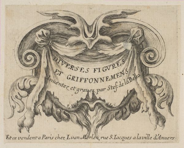
print, intaglio, engraving
#
baroque
# print
#
intaglio
#
figuration
#
11_renaissance
#
line
#
history-painting
#
engraving
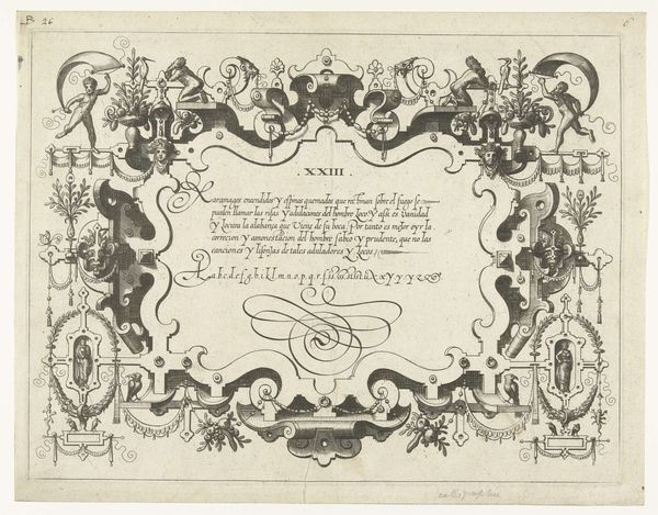
Dimensions: height 104 mm, width 152 mm
Copyright: Rijks Museum: Open Domain
Curator: Looking at this print, dated from somewhere between 1620 and 1640, it's striking how maps weren’t just geographical tools but also proclamations of power. This piece, titled "Cartouche voor een kaart van Zwitserland," shows that. It’s unsigned, but the flourishes really give it away, doesn’t it? Editor: It does. And the first thing that jumps out at me is the intricate detail for what seems like it was supposed to be a fairly functional object. It's Baroque through and through – that's clear in the line work achieved via intaglio, or perhaps even engraving. What sort of workshops do you imagine produced something like this? Curator: Good question. Cartography workshops of the period were very competitive. Being the ‘official’ mapmaker—as indicated here—was a serious point of prestige, tying them directly to political power. These prints weren't merely about depicting the landscape but were involved in solidifying the authority of specific rulers and states. Editor: So, it was less about scientific accuracy and more about image crafting? The whole thing reads as an elaborate brand exercise with serious aesthetic labor! The labor and materiality here show the early beginnings of nation-state propaganda. Curator: Precisely! And think about who controlled the production and dissemination of these maps. It wasn’t a free flow of information, but tightly controlled by those in power to project an image of stability, control, and territorial dominance. This, of course, reinforces their influence and legitimacy. Editor: Seeing the craftsmanship laid bare like this almost gives me more insight than the details of the map itself. It makes you think about the engravers, the quality of their tools, and the systems they had in place for reproducing these images – all deeply entwined with early forms of mass communication. Curator: Indeed, a beautiful little insight into how maps functioned as instruments of power. They created and reinforced social and political hierarchies of the time. Editor: Absolutely. Looking closely at how it was crafted and understanding the systems it comes from reveals so much. There is power woven into the whole of this particular material.
Comments
No comments
Be the first to comment and join the conversation on the ultimate creative platform.
More like this