print, engraving
#
dutch-golden-age
# print
#
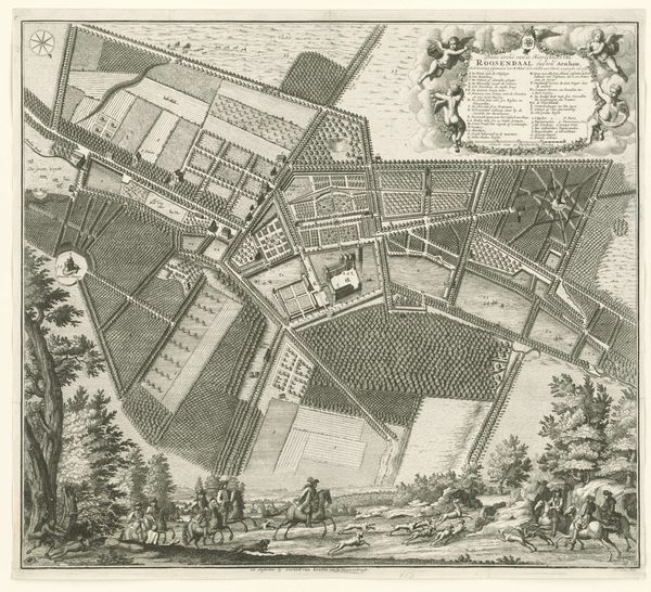
landscape
#
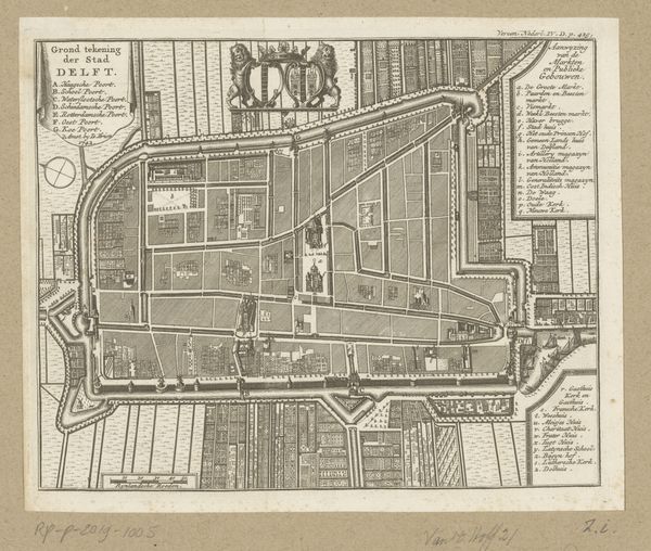
geometric
#
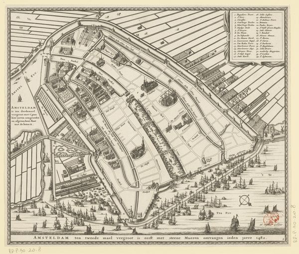
cityscape
#
engraving
Dimensions: height 169 mm, width 295 mm
Copyright: Rijks Museum: Open Domain
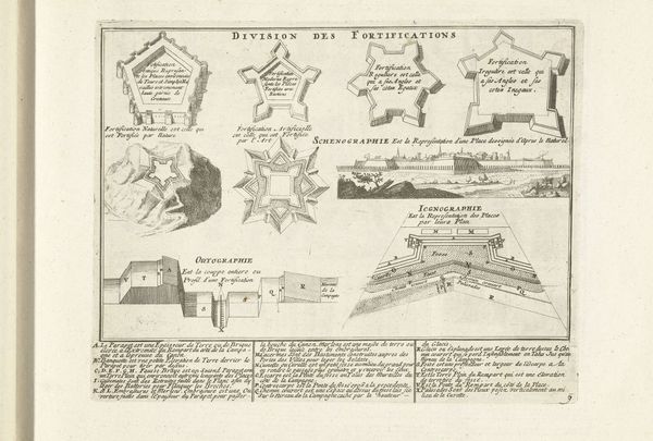
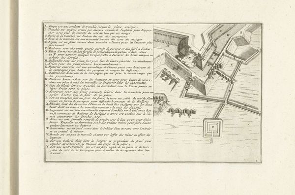
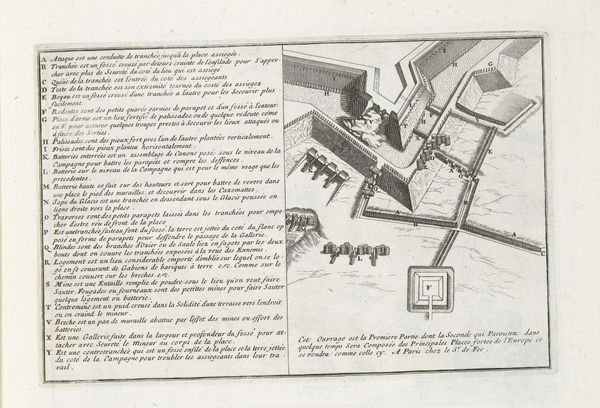
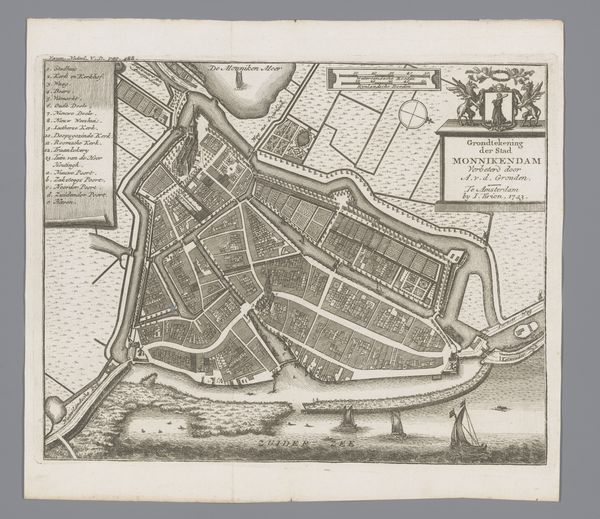
Claes Jansz. Visscher created this print of six forts near Hulst in 1645. This was during the Eighty Years' War, a period of intense conflict between the Dutch Republic and Spain, in which the control of land was directly linked to power, identity, and survival. Prints like this one weren't just about geography; they were strategic tools. They represented the conflict as an intellectual challenge, portraying the forts not just as structures, but as symbols of Dutch resilience and ingenuity. The geometric precision used emphasizes control and order amidst the chaos of war. Each angle and line speaks to the intersection of military strategy and national identity. The forts themselves tell stories of shifting power dynamics, with their names often reflecting the political affiliations of their builders or conquerors. As you consider this image, reflect on how maps and architectural plans can embody the complex interplay between land, power, and identity during times of conflict.
Comments
No comments
Be the first to comment and join the conversation on the ultimate creative platform.
More like this