print, etching
# print
#
etching
#
landscape
#
etching
#
cityscape
#
history-painting
#
northern-renaissance
Dimensions: height 312 mm, width 410 mm
Copyright: Rijks Museum: Open Domain
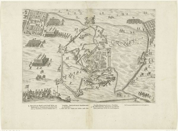
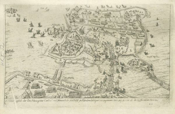
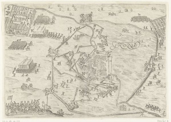
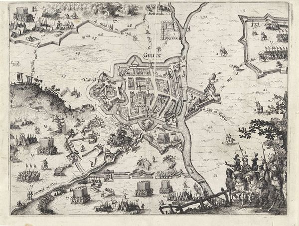
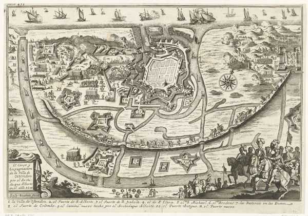
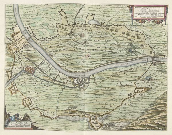
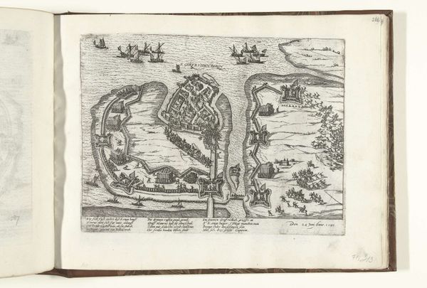
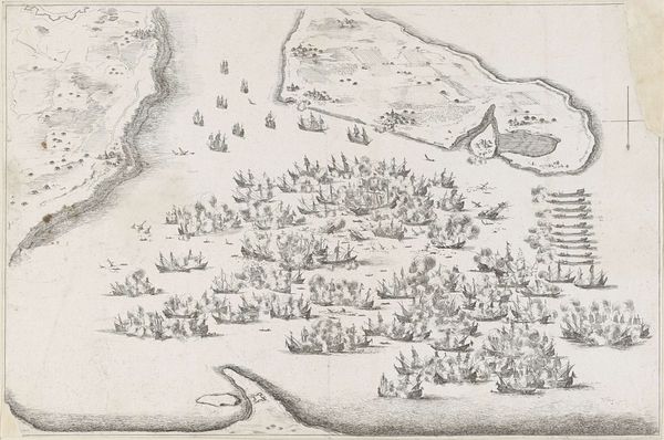
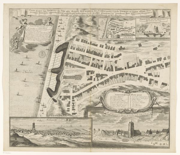
This is a drawing from 1588 depicting the siege of Medemblik, made by an anonymous artist. The image offers a bird's-eye view of the siege, with a focus on the spatial arrangement of the city, the surrounding water, and the positioning of ships. It vividly illustrates the military tactics and the geographical challenges of the conflict, part of the larger Eighty Years' War for Dutch independence from Spain. Maps like these weren't just about recording events; they were tools of power, shaping how people understood their world and their place in it. During the 16th century, the Dutch Republic was at the forefront of cartography, turning mapmaking into a science and a symbol of national identity. To truly understand this drawing, we need to consult historical records, military archives, and period maps. By doing so, we reveal the complex interplay of social, political, and military forces that shaped the creation—and the reception—of this image.
Comments
No comments
Be the first to comment and join the conversation on the ultimate creative platform.
More like this