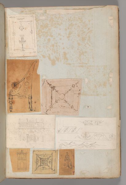
drawing, print, paper, ink
#
drawing
#
ink painting
# print
#
landscape
#
paper
#
ink
#
cityscape
Dimensions: Sheet: 12 3/16 × 14 3/4 in. (31 × 37.5 cm)
Copyright: Public Domain
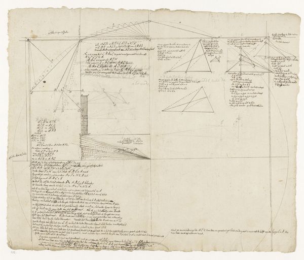
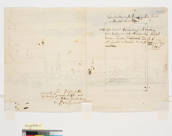
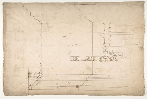
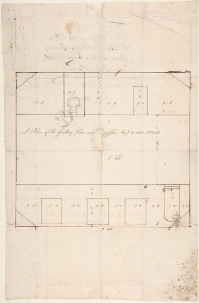
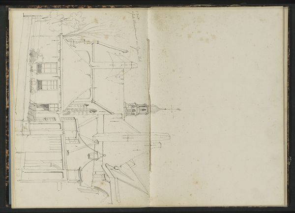
Editor: Here we have what appears to be an old map titled "Survey of Sturgeon Creek, Maine," created in 1752 by an anonymous artist. It’s ink on paper and it reminds me of property surveys, but with a kind of… illustrative quality? What's your take on it? Curator: Well, considering its creation date, this isn't just a map; it’s a powerful document reflecting land ownership and resource control in colonial Maine. Look at how land is meticulously divided and labelled. What do you think that says about the priorities of the people commissioning this work? Editor: It looks like everything's being organized for sale or allocation? And the small, simple houses give you a sense of new settlements being planned. Curator: Precisely. And think about who “Anonymous” might be in this case. Probably not a formally trained artist, but likely someone skilled in surveying, reflecting the practical needs of colonial expansion. Notice also that the ink drawing makes an attempt to give a bird’s eye perspective which blends artistic intention and land surveying techniques. The drawing thus has some political significance because those who paid for it used their economic position to establish themselves in the landscape. Editor: It’s amazing how much social context you can unpack from a seemingly straightforward map! Curator: It shows how deeply art is embedded within economic and socio-political systems of a certain place and period. Analyzing this “survey” reveals the power dynamics at play in 18th-century Maine. It helps to remember that, after all, art always speaks to broader conditions of power, wealth, and cultural formation. Editor: I had never really thought of something like this being thought of as 'art', but I realize now that it holds as much value in telling us about the time as paintings and sculptures do!
Comments
No comments
Be the first to comment and join the conversation on the ultimate creative platform.
More like this