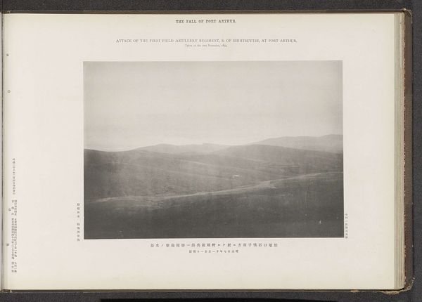
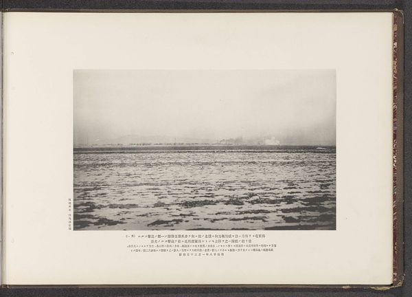
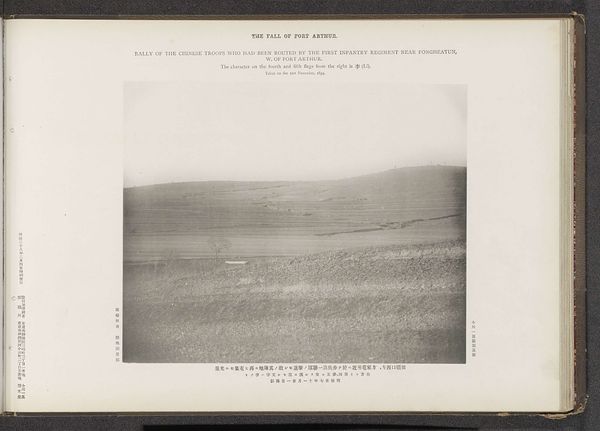
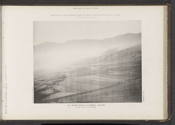
Cannonade of the first shield artillery regiment upon the Chinese advancing to attack the second infantry regiment stationed on the S. of Shihtsuytse, N. W. of Port Arthur Possibly 1894
0:00
0:00
print, photography
#
aged paper
#
light pencil work
#
homemade paper
# print
#
asian-art
#
sketch book
#
hand drawn type
#
hardpaper
#
landscape
#
photography
#
personal sketchbook
#
thick font
#
sketchbook drawing
#
sketchbook art
#
realism
Dimensions: height 195 mm, width 277 mm
Copyright: Rijks Museum: Open Domain
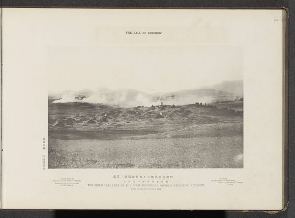
This photograph, created by the Ordnance Survey Office, shows the cannonade of the first field artillery regiment upon the Chinese in Port Arthur. It's a stark visual record of the Russo-Japanese War, offering us a glimpse into the strategies and technologies of early 20th-century warfare. The image presents a leveled landscape, where smoke plumes from artillery fire punctuate the scene. Its meaning lies not just in the depiction of conflict, but also in the institutional context of its creation. Survey offices, like the one responsible for this image, were vital instruments of colonial power, mapping and documenting territories for military and administrative control. To understand the photograph fully, one has to delve into the political and military history of the Russo-Japanese War, and the role of institutional bodies in shaping colonial narratives. Visual records like this were used to document the supposed progress of Japan into mainland China. The meaning of this image is contingent on its historical, social, and institutional context.
Comments
No comments
Be the first to comment and join the conversation on the ultimate creative platform.
More like this