print, engraving
#
medieval
#
baroque
# print
#
landscape
#
cityscape
#
history-painting
#
engraving
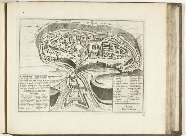
Dimensions: height 218 mm, width 279 mm
Copyright: Rijks Museum: Open Domain
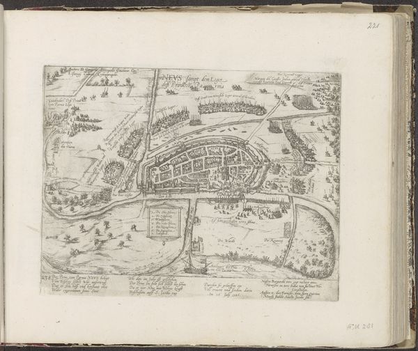
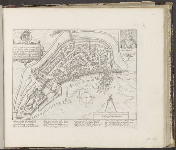
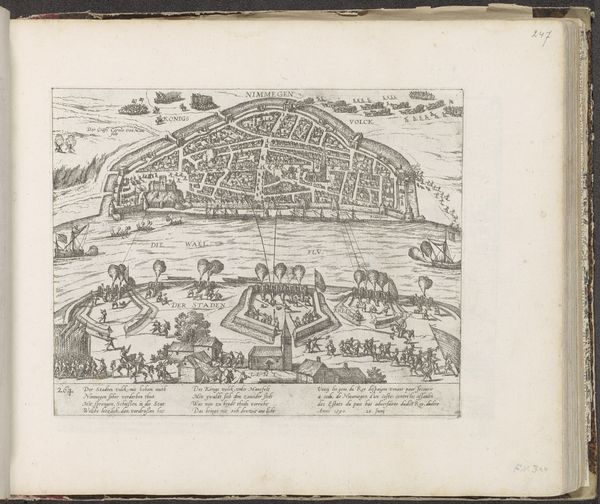
This "Plattegrond van Kamjanets-Podilsky" was made in 1693 by an anonymous artist, using printmaking techniques. Look closely, and you'll see the intricate detail achieved through the precise and repetitive process of engraving. The city's layout, fortifications, and surrounding landscape are rendered with remarkable clarity. The incised lines of the printmaking, filled with ink, create a visual language that speaks to the social and cultural significance of cartography during this period. The creation of this map involved a high degree of skill and labor. From the initial survey and drafting to the meticulous engraving of the copperplate, each step required specialized knowledge and expertise. The act of printing itself, with its reliance on mechanical presses and skilled printers, reflects the increasing industrialization of knowledge production in the early modern era. Consider how the materials and processes used to create this map shaped its meaning and function. It's not just a representation of a place, but a testament to the power of human ingenuity and the enduring legacy of craft in a rapidly changing world.
Comments
No comments
Be the first to comment and join the conversation on the ultimate creative platform.
More like this