drawing, mixed-media, paper, pencil
#
drawing
#
aged paper
#
mixed-media
#
sketch book
#
hand drawn type
#
hand lettering
#
paper
#
personal sketchbook
#
idea generation sketch
#
sketchwork
#
geometric
#
sketch
#
pencil
#
line
#
sketchbook drawing
#
storyboard and sketchbook work
#
sketchbook art
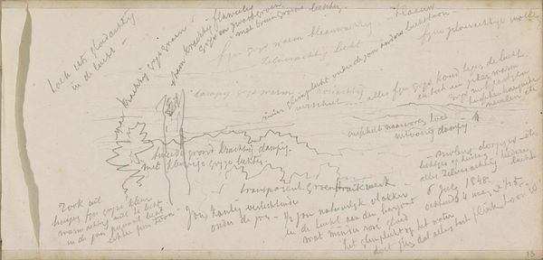
Copyright: Rijks Museum: Open Domain
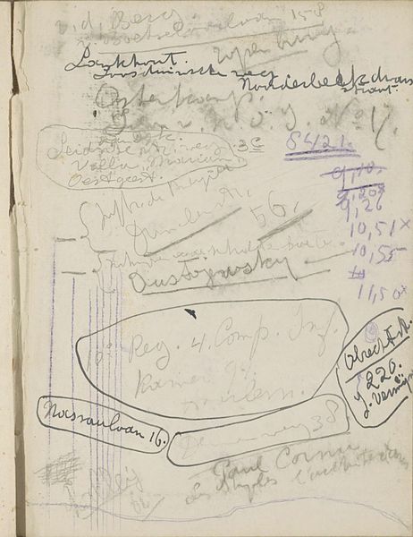
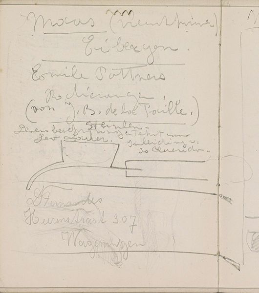
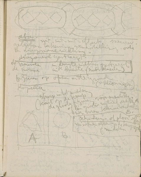
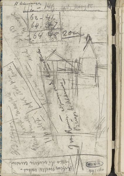
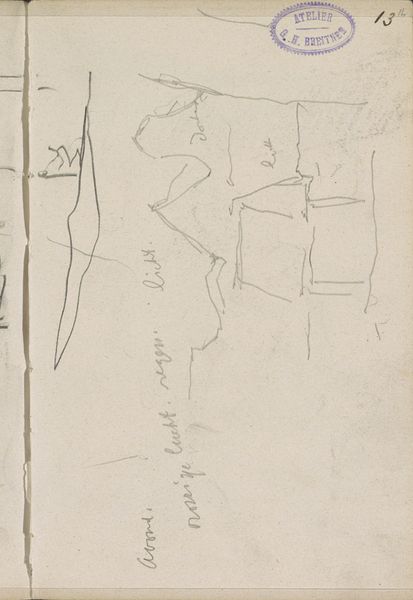
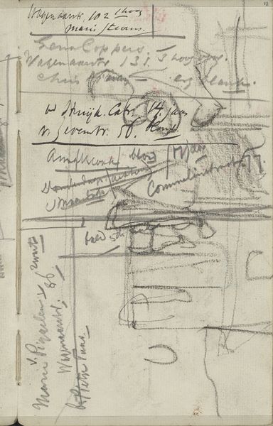
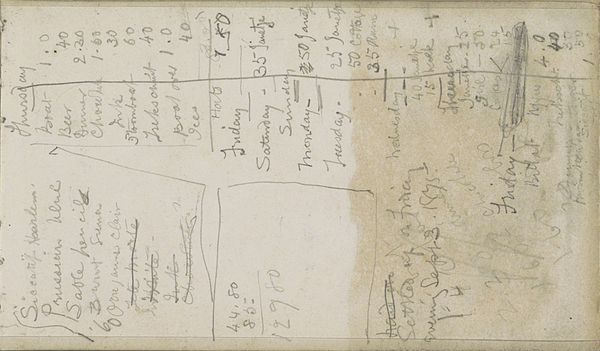
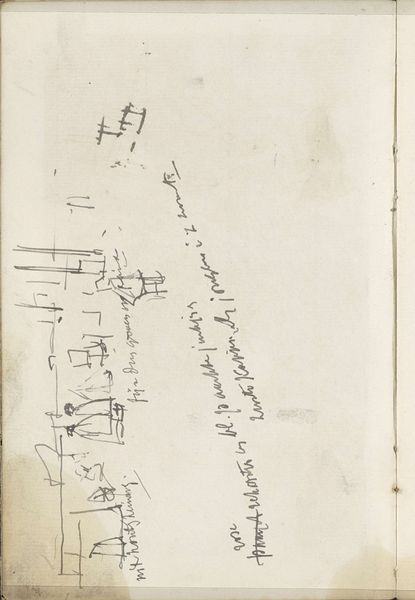
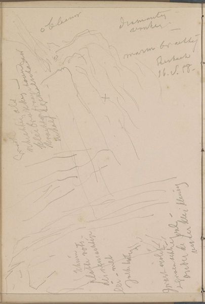
This travel sketch was made by Reijer Stolk, sometime in the first half of the 20th century. It's a pencil drawing, or maybe a soft graphite, of a map of Ghana, filled with notes and observations. It's so process-driven, so free. Like a thought jotted down. I love how Stolk uses the paper as a place to pin down all sorts of different information. The map itself is almost incidental, amongst notes about currency, language and sketches of, well, something. But the map provides a kind of structure, the lines suggesting connection, movement and the passing of time. The annotations dance around it, weaving a narrative of experience. The texture is raw and immediate, the surface alive with the ghost of erased marks and pentimenti. What I love about this is the way it embraces ambiguity. It reminds me of Twombly's sketchbooks, where the act of drawing becomes a way of thinking through the world. Art as a conversation, not a declaration.
Comments
No comments
Be the first to comment and join the conversation on the ultimate creative platform.
More like this