print, engraving
#
medieval
# print
#
cityscape
#
engraving
Dimensions: height 206 mm, width 308 mm
Copyright: Rijks Museum: Open Domain
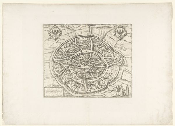
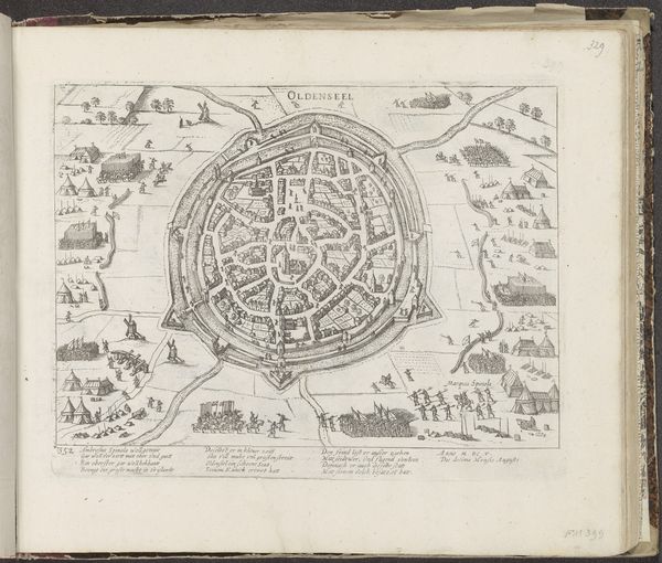
This is a 1726 anonymous engraving of Sankt Gallen, now in Switzerland. It offers us insight into the historical, social, and even political landscape of the time. The walled city with its regimented layout speaks volumes. Note the clear boundaries, suggesting a society concerned with defense, order, and control. The visual codes here, from the imposing walls to the structured arrangement of buildings, reflect a culture deeply rooted in hierarchy and perhaps even anxiety about external threats. This was a time when the Abbey of Saint Gall was a powerful institution. The map gives us clues about urban planning and land use, allowing us to infer about the economic activities and social stratification within the city. Historical maps such as these are not just geographical documents; they are cultural artifacts. Through detailed research, we can begin to understand the social and institutional forces that shaped not only the city, but also the lives of its inhabitants.
Comments
No comments
Be the first to comment and join the conversation on the ultimate creative platform.
More like this