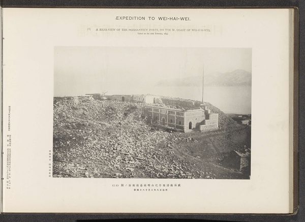
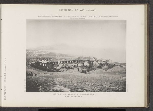
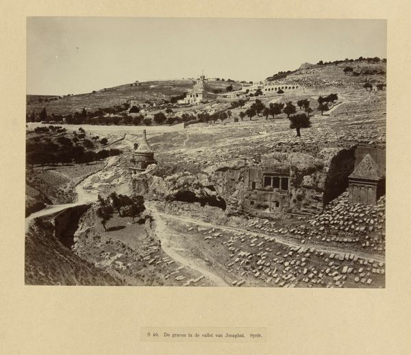
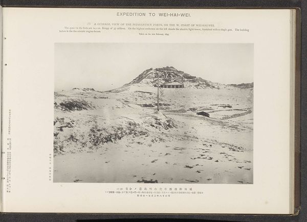
The rear defences of the hill to the N. of the Tseszetai forts, on the W. Coast of Wei-Hai-Wei Possibly 1895
0:00
0:00
#
aged paper
#
paperlike
#
sketch book
#
personal journal design
#
personal sketchbook
#
journal
#
thick font
#
publication mockup
#
paper medium
#
publication design
Dimensions: height 222 mm, width 286 mm
Copyright: Rijks Museum: Open Domain
This photograph of the rear defenses of the Tseszetai forts was taken near Wei-Hai-Wei on the 8th of February 1895 by the Ordnance Survey Office. The image documents a pivotal moment in the First Sino-Japanese War. The conflict itself was largely a struggle for influence in Korea, but here we see the consequences of that struggle, the Japanese occupation of the Chinese port, a strategic naval base. The photo shows the terraced fortifications scaling the hill behind the forts, simple in design, but suggesting a pragmatic approach to defense. The Ordnance Survey Office, a British institution, played a role in mapping and documenting the world, which makes one wonder about the circumstances of the photograph. Was Britain acting as a neutral observer, or was there a more vested interest in documenting the conflict and the region's topography? Further research into British foreign policy at the time could reveal more. Such historical context transforms our understanding of this image.
Comments
No comments
Be the first to comment and join the conversation on the ultimate creative platform.
More like this