About this artwork
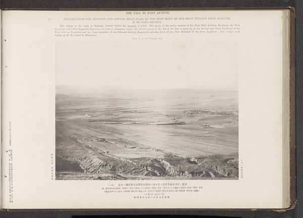
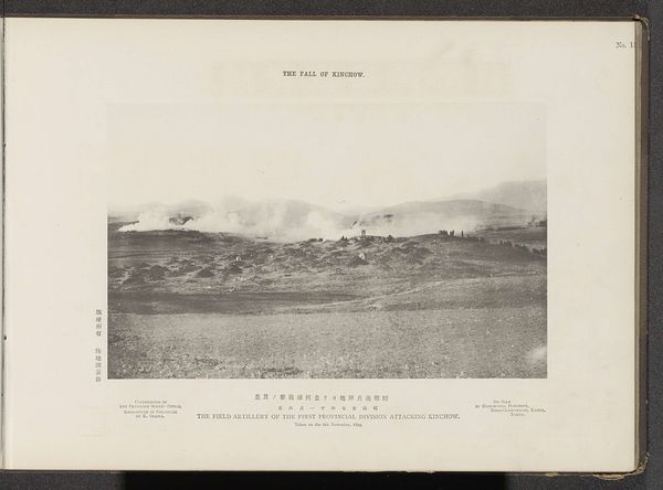
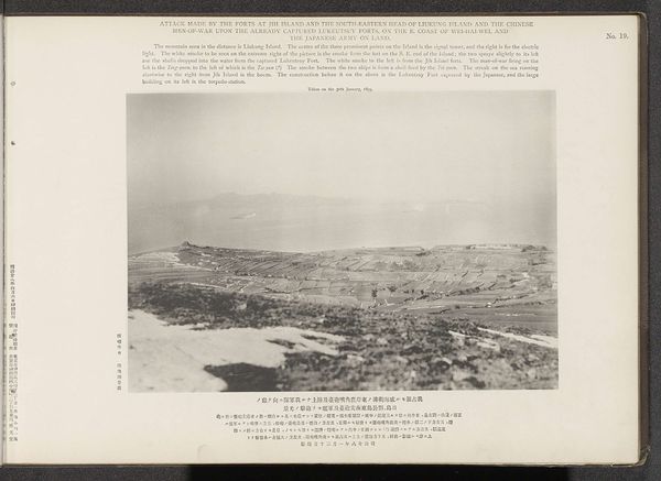
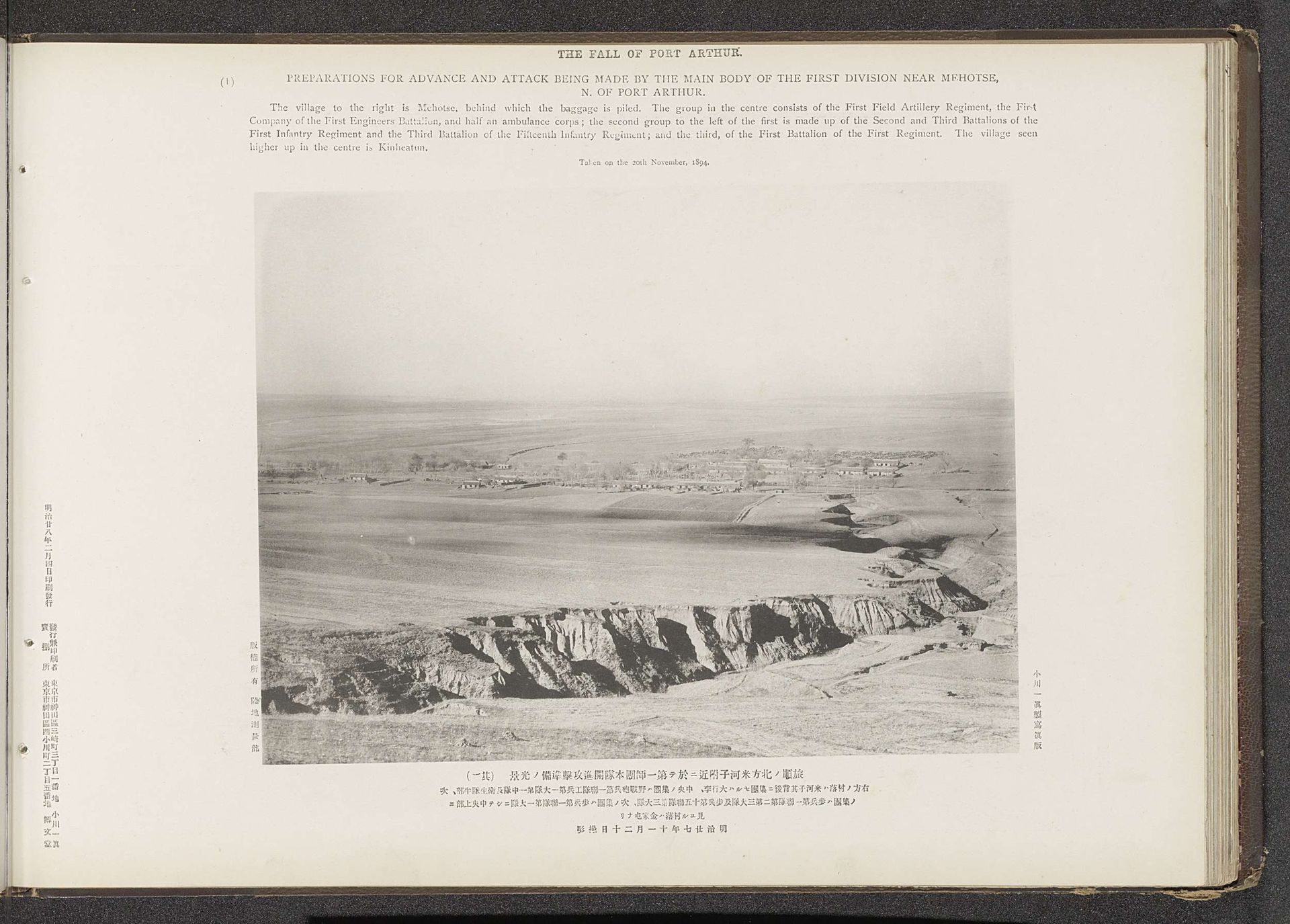
This photograph, taken by the Ordnance Survey Office, captures the scene of military preparations near Mehotse, north of Port Arthur. The image’s materiality—its origin as a documentary photograph—immediately connects it to broader issues of labor and technology. Photography itself was a relatively new technology at the time, demanding specific skills and equipment. The survey office, as an institution, represents a systematized approach to knowledge and control, mirroring the military's strategic planning. Note how the black and white tones emphasize the barren landscape, highlighting the stark reality of war. The image isn't just a depiction of a scene; it's a product of industrial processes, from the manufacturing of photographic materials to the organization of labor within the survey office and the military. The sheer amount of work involved in mobilizing troops and documenting their efforts speaks to the scale and intensity of the conflict. By considering the photograph’s production and context, we gain a deeper understanding of its social and political significance, moving beyond aesthetic appreciation to grasp the complex relationship between technology, labor, and warfare.
Preparations for advance and attack being made by the main body of the first division near Mehotse, N. of Port Arthur
Possibly 1894
Artwork details
- Medium
- print, photography, gelatin-silver-print
- Dimensions
- height 201 mm, width 265 mm
- Copyright
- Rijks Museum: Open Domain
Tags
Comments
Share your thoughts
About this artwork
This photograph, taken by the Ordnance Survey Office, captures the scene of military preparations near Mehotse, north of Port Arthur. The image’s materiality—its origin as a documentary photograph—immediately connects it to broader issues of labor and technology. Photography itself was a relatively new technology at the time, demanding specific skills and equipment. The survey office, as an institution, represents a systematized approach to knowledge and control, mirroring the military's strategic planning. Note how the black and white tones emphasize the barren landscape, highlighting the stark reality of war. The image isn't just a depiction of a scene; it's a product of industrial processes, from the manufacturing of photographic materials to the organization of labor within the survey office and the military. The sheer amount of work involved in mobilizing troops and documenting their efforts speaks to the scale and intensity of the conflict. By considering the photograph’s production and context, we gain a deeper understanding of its social and political significance, moving beyond aesthetic appreciation to grasp the complex relationship between technology, labor, and warfare.
Comments
Share your thoughts