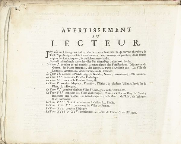
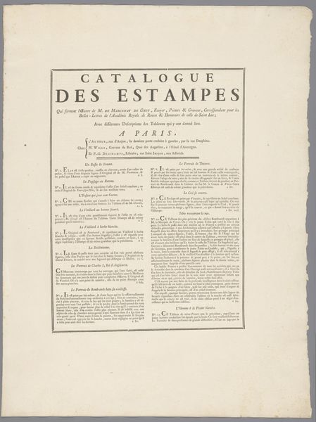
Inhoudsopgave voor prentwerk: Les Forces de l'Europe, Asie, Afrique et Amerique (...) Comme aussi les Cartes des Côtes de France et d'Espagne, 1726 1726
0:00
0:00
pietervanderiaa
Rijksmuseum
print, typography, engraving
#
hand-lettering
# print
#
typography
#
engraving
Dimensions: height 300 mm, width 390 mm
Copyright: Rijks Museum: Open Domain
This is the index for Pieter van der Aa's series of prints, 'Les Forces de l'Europe, Asie, Afrique et Amerique,' created in 1726. At first glance, the sheer volume of text may seem overwhelming, but consider the historical context. In the 18th century, knowledge was power, and the meticulous organization of information—here, a detailed index of cities, forts, and chateaux—mirrored a broader cultural impulse to categorize and control the world. The alphabetical listing, meticulously arranged, reflects a deep-seated human desire to impose order on chaos. We see this impulse echoed throughout history, from ancient library catalogs to modern-day databases. This need for order perhaps speaks to a collective anxiety about the unknown, a psychological drive to map and tame the vastness of human experience. This impulse continues to resurface in the digital age, where algorithms sort and categorize our lives.
Comments
No comments
Be the first to comment and join the conversation on the ultimate creative platform.
More like this