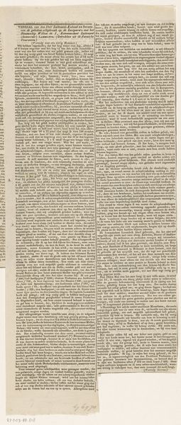
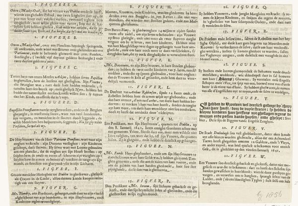
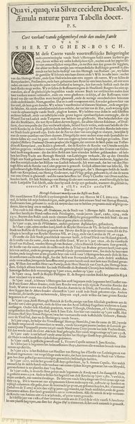
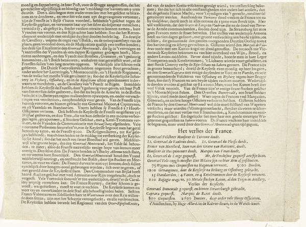
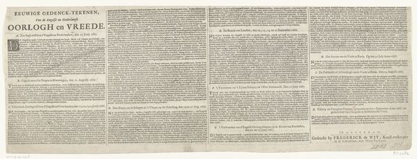
Kaart van het beleg van Huis te Gennep (tekstblad vervolg), 1641 1641
0:00
0:00
claesjanszvisscher
Rijksmuseum
print, etching, engraving
#
dutch-golden-age
# print
#
etching
#
engraving
Dimensions: height 179 mm, width 336 mm
Copyright: Rijks Museum: Open Domain
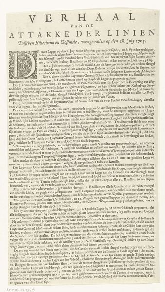
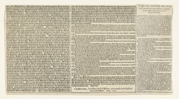
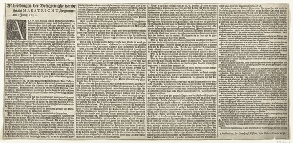
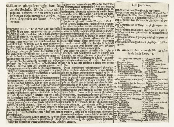
Curator: Here we have "Kaart van het beleg van Huis te Gennep (tekstblad vervolg), 1641", created in 1641 by Claes Jansz. Visscher. It's currently held in the Rijksmuseum. This intricate print combines etching and engraving. The sheer amount of text is initially quite intimidating. It makes me wonder what exactly its purpose was and who the intended audience was. What’s your first impression? Editor: I feel almost overwhelmed by the detail. It seems to be some sort of historical document, or maybe a propaganda piece with some agenda? But what sort of narrative can you derive from the artwork’s visual language? Curator: Well, think of the Dutch Golden Age—a period brimming with trade, military expansion, and burgeoning national identity. This print captures a siege, a moment of conflict. Maps weren't just geographical tools back then; they were powerful political statements. Editor: So, this wasn’t just about showing where things were, but about power? Who was Visscher trying to influence? Curator: Perhaps potential investors, or those who could profit. What is striking about this one in particular is that it shows both sides, a sort of neutrality I usually don’t see during these tense wartime announcements. Editor: It does sort of give the feeling of seeing two sides represented here. What’s the significance of the text? I mean, it's almost unreadable to me, so how would the average person from 1641 interpret it? Curator: Ah, that's the puzzle! Much of the text served as a detailed record of events, troop movements, agreements and proclamations; it offers a very human layer of intricacy. The artist wanted people to know about those small intricate moments of what led up to an historical event. So, it's as much about conveying the reality of war. Almost more bureaucratic than bloody, no? Editor: It really re-frames how I see these historical images. Not just grand battles, but complex negotiations, claims of authority, announcements; human stories caught within larger events. That totally changes the viewing experience for me. Curator: Exactly! Now, when you look at it, what will you see?
Comments
No comments
Be the first to comment and join the conversation on the ultimate creative platform.
More like this