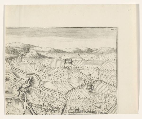
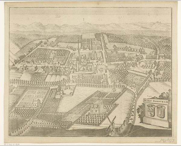
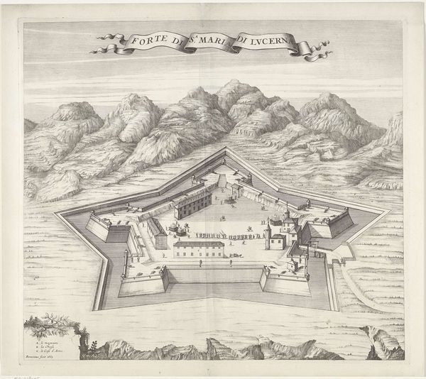
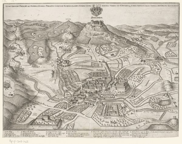
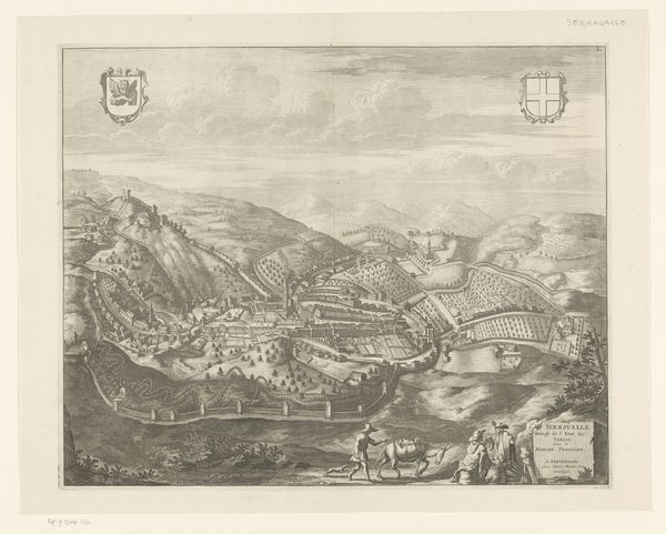
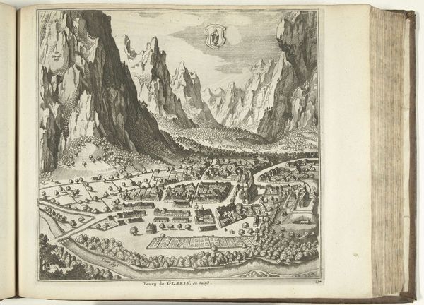
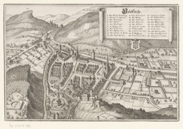
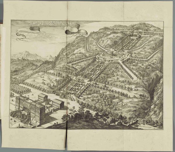
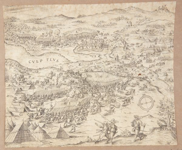
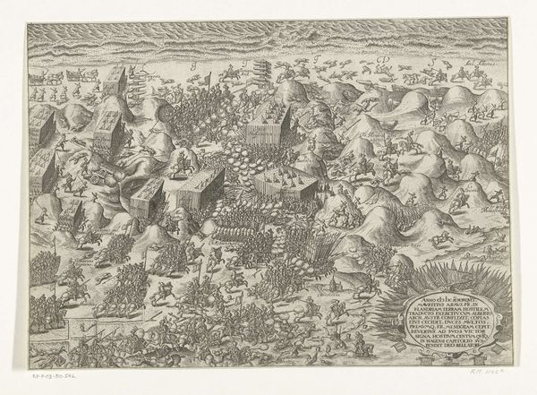
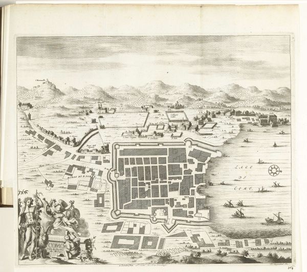
print, engraving
#
baroque
# print
#
landscape
#
geometric
#
cityscape
#
engraving
Dimensions: height 494 mm, width 594 mm
Copyright: Rijks Museum: Open Domain
This detailed bird’s-eye view of Sospel was meticulously rendered in ink using engraving techniques by an anonymous artist. The precise lines capture not only the city's layout but also the surrounding terraced landscape. The act of engraving itself is labor-intensive, requiring skilled hands to transfer an image onto a metal plate, which is then inked and pressed to paper. The topographical accuracy suggests a practical purpose, perhaps for military or administrative use. But, it goes beyond mere utility. The inclusion of decorative elements elevates the map to a form of art, blurring the line between functionality and aesthetic appreciation. The image then becomes a tool of power: the knowledge and representation of space is a form of control. The very act of mapping reflects human intervention and the imposition of order onto the landscape, an expression of human agency. Understanding this print means appreciating the layers of meaning embedded within the materials, process, and social context of its creation.
Comments
No comments
Be the first to comment and join the conversation on the ultimate creative platform.
More like this