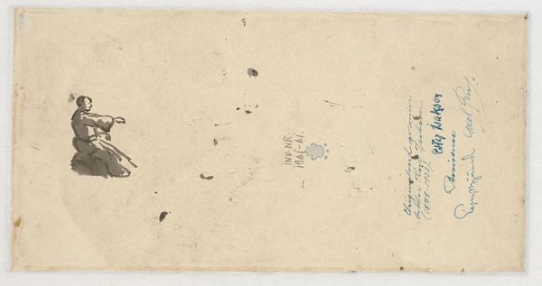
drawing, paper, ink
#
drawing
#
landscape
#
paper
#
ink
#
coloured pencil
#
cityscape
Dimensions: height 87 mm, width 122 mm
Copyright: Rijks Museum: Open Domain
Editor: Here we have "Plattegrond van Breisach," a cityscape drawing made in 1735 by an anonymous artist, rendered in ink on paper. What strikes me is how the landscape, seemingly hand-drawn, surrounds and shapes the city, like nature holding it. How do you read this work? Curator: I see a direct commentary on the process of territorialization and resource control. The medium, ink on paper, highlights the deliberate act of documentation and ownership. Note the level of detail in depicting fortifications – what kind of labour would be necessary to construct those walls and enforce those borders? It hints at the social relations embedded in material production of space. Editor: That's a compelling perspective! I was mostly focusing on the aesthetic aspect. How would the average person have used something like this in the 18th century? Curator: This isn't just about artistic expression; it's about power. Consider who would have commissioned and possessed such a detailed plan. Most likely someone interested in controlling Breisach – militarily or economically. The coloured pencil indicates levels of sophistication in understanding how materials create wealth or strategic power. Is that compass rose a marker of accuracy, or also control? Editor: So the artwork becomes evidence of something more than just artistic skill, like the raw materials and construction needed to dominate? Curator: Precisely! The landscape itself, painstakingly rendered, becomes a resource to be exploited and defended. Even the labor of creating the map reflects existing power structures. By analyzing these material aspects, we can unveil the social relations inherent within. What do you think of that reading of power, then? Editor: Thinking about it in terms of control changes everything! I will look for those elements in similar works now. Curator: Absolutely. By looking at art through a materialist lens, we begin to see art as an embodiment of social and historical forces, always pointing towards the power relationships behind their construction and design.
Comments
No comments
Be the first to comment and join the conversation on the ultimate creative platform.
More like this