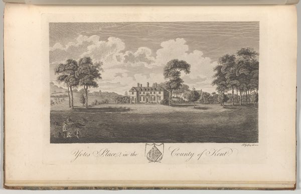
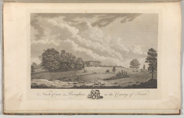
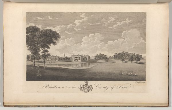
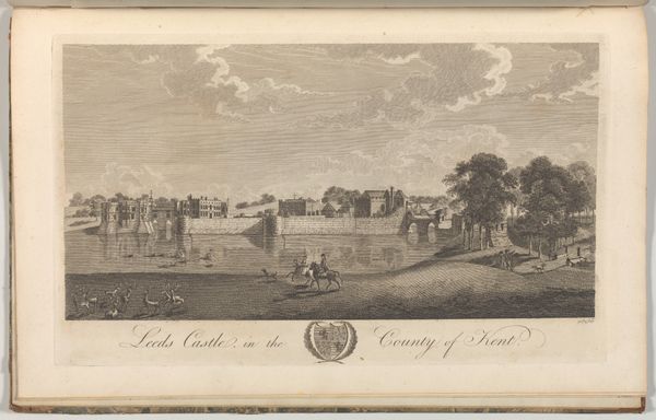
Hever Castle in the County of Kent, from Edward Hasted's, The History and Topographical Survey of the County of Kent, vols. 1-3 1777 - 1790
drawing, print, paper, engraving
drawing
landscape
paper
engraving
Dimensions: Book: 17 5/16 × 11 × 13/16 in. (44 × 28 × 2 cm) Sheet: 16 15/16 × 10 5/8 in. (43 × 27 cm) Plate: 10 1/16 × 14 in. (25.5 × 35.5 cm)
Copyright: Public Domain
This engraving of Hever Castle, part of Edward Hasted's topographical survey, offers more than just a picturesque view; it presents a stage upon which historical memory plays out. The castle itself, with its fortified architecture, speaks of power and permanence, symbols deeply rooted in our collective psyche. Consider the recurring image of the castle throughout European history, from medieval tapestries to Romantic paintings. It is always loaded with notions of security and control. Yet, even these symbols undergo transformations. Originally a bastion against external threats, the castle evolves in the collective consciousness. The idea of safety morphs into one of confinement, reflecting a psychoanalytic interpretation of fear, where the protection we seek becomes the very source of our anxiety. It is this continuous cycle of symbol and meaning that fascinates me. The image of Hever Castle, captured here, serves as a reminder of how symbols resurface, evolve, and take on new meanings across time.
Comments
No comments
Be the first to comment and join the conversation on the ultimate creative platform.