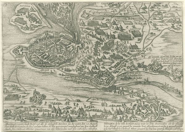
About this artwork
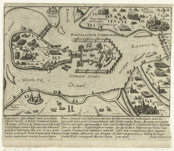
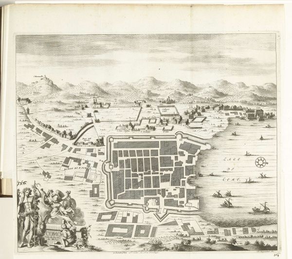
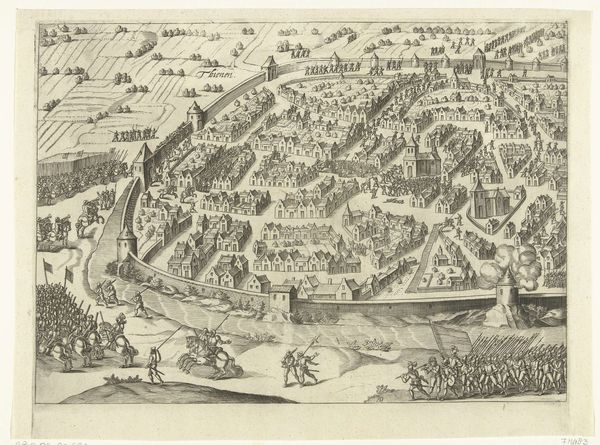
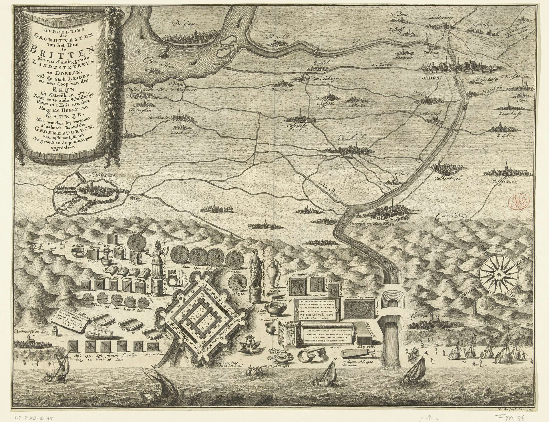
François van Bleyswijck created this map of the nonexistent Roman fortress, Huis te Britten. In the 17th and 18th centuries, the Dutch Republic was experiencing its Golden Age, a period marked by unprecedented economic growth and cultural flourishing. During this time there was a growing interest in classical antiquity, which can be seen here in the romanticized vision of a glorious Roman past. The map reflects a cultural desire to connect with and legitimize the present through the past, even if that past was imagined. The inclusion of Roman statues and artifacts alongside a detailed topographical map serves to amplify the importance of this location, imbuing it with a sense of historical gravitas and cultural pride. Ultimately, this cartographic fantasy reflects the cultural and historical preoccupations of the Dutch Golden Age, while reminding us to question and consider the narratives we construct about ourselves and our place in the world.
Kaart met plattegrond van het Huis te Britten 1728 - 1739
François van Bleyswijck
1671 - 1746Location
RijksmuseumArtwork details
- Medium
- drawing, print, paper, ink
- Dimensions
- height 320 mm, width 411 mm
- Location
- Rijksmuseum
- Copyright
- Rijks Museum: Open Domain
Tags
drawing
baroque
dutch-golden-age
landscape
paper
ink
geometric
cityscape
Comments
No comments
About this artwork
François van Bleyswijck created this map of the nonexistent Roman fortress, Huis te Britten. In the 17th and 18th centuries, the Dutch Republic was experiencing its Golden Age, a period marked by unprecedented economic growth and cultural flourishing. During this time there was a growing interest in classical antiquity, which can be seen here in the romanticized vision of a glorious Roman past. The map reflects a cultural desire to connect with and legitimize the present through the past, even if that past was imagined. The inclusion of Roman statues and artifacts alongside a detailed topographical map serves to amplify the importance of this location, imbuing it with a sense of historical gravitas and cultural pride. Ultimately, this cartographic fantasy reflects the cultural and historical preoccupations of the Dutch Golden Age, while reminding us to question and consider the narratives we construct about ourselves and our place in the world.
Comments
No comments